
MyTopo
Clotho Minnesota US Topo Map
Couldn't load pickup availability
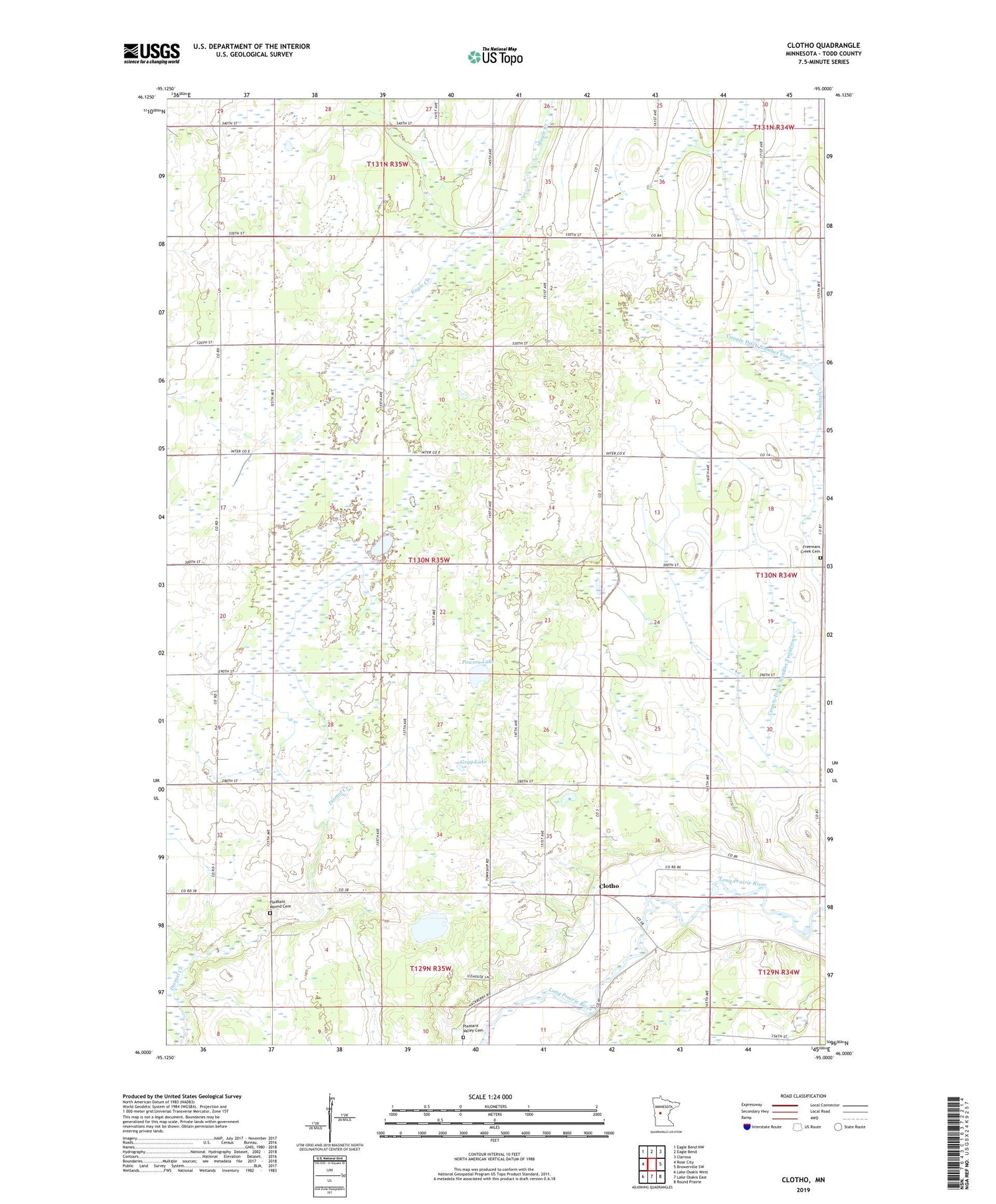
2019 topographic map quadrangle Clotho in the state of Minnesota. Scale: 1:24000. Based on the newly updated USGS 7.5' US Topo map series, this map is in the following counties: Todd. The map contains contour data, water features, and other items you are used to seeing on USGS maps, but also has updated roads and other features. This is the next generation of topographic maps. Printed on high-quality waterproof paper with UV fade-resistant inks.
Quads adjacent to this one:
West: Rose City
Northwest: Eagle Bend NW
North: Eagle Bend
Northeast: Clarissa
East: Browerville SW
Southeast: Round Prairie
South: Lake Osakis East
Southwest: Lake Osakis West
Contains the following named places: Burleele State Wildlife Management Area, Clotho, Clotho Post Office, County Ditch Number Four, County Ditch Number Twentytwo, Double Eagle Golf Club, Freemans Creek Cemetery, Gray Lake, Pleasant Mound Cemetery, Pleasant Valley Cemetery, Powers Lake, School Number 2279, Township of Burleene


