MyTopo
Lake Osakis East Minnesota US Topo Map
Couldn't load pickup availability
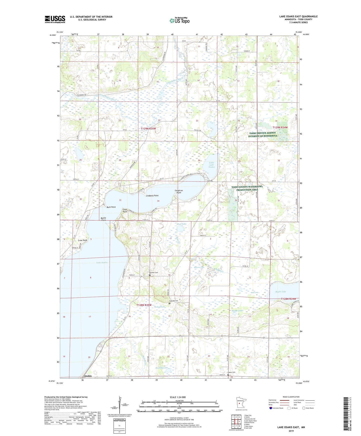
2022 topographic map quadrangle Lake Osakis East in the state of Minnesota. Scale: 1:24000. Based on the newly updated USGS 7.5' US Topo map series, this map is in the following counties: Todd. The map contains contour data, water features, and other items you are used to seeing on USGS maps, but also has updated roads and other features. This is the next generation of topographic maps. Printed on high-quality waterproof paper with UV fade-resistant inks.
Quads adjacent to this one:
West: Lake Osakis West
Northwest: Rose City
North: Clotho
Northeast: Browerville SW
East: Round Prairie
Southeast: Sauk Lake
South: West Union
Southwest: Osakis
This map covers the same area as the classic USGS quad with code o45095h1.
Contains the following named places: Battle Point, Baugh Creek, Beim Lake, Boss Creek, Buck Point, Caughren Point, Coon Point, Crow Point, Dismal Creek, Early Inn Resort and Campground, Gordon Cemetery, Gordon Church, Hollister State Wildlife Management Area, Lake Osakis, Leslie Church, Lindberg Point, Linwood Resort and Campground, Little Lake Osakis, Maple Lake, Marge Lake, Mud Lake, Platt Lake, Randall Lake, Randall State Wildlife Management Area, Reynolds Church, Salem Cemetery, Salem Church, School Number 2305, School Number 2347, Slawson Lake, Stallcop Cemetery, Stallcop Lake, Township of Gordon, Township of Leslie, ZIP Code: 56360