MyTopo
Crane Lake Minnesota US Topo Map
Couldn't load pickup availability
Also explore the Crane Lake Forest Service Topo of this same quad for updated USFS data
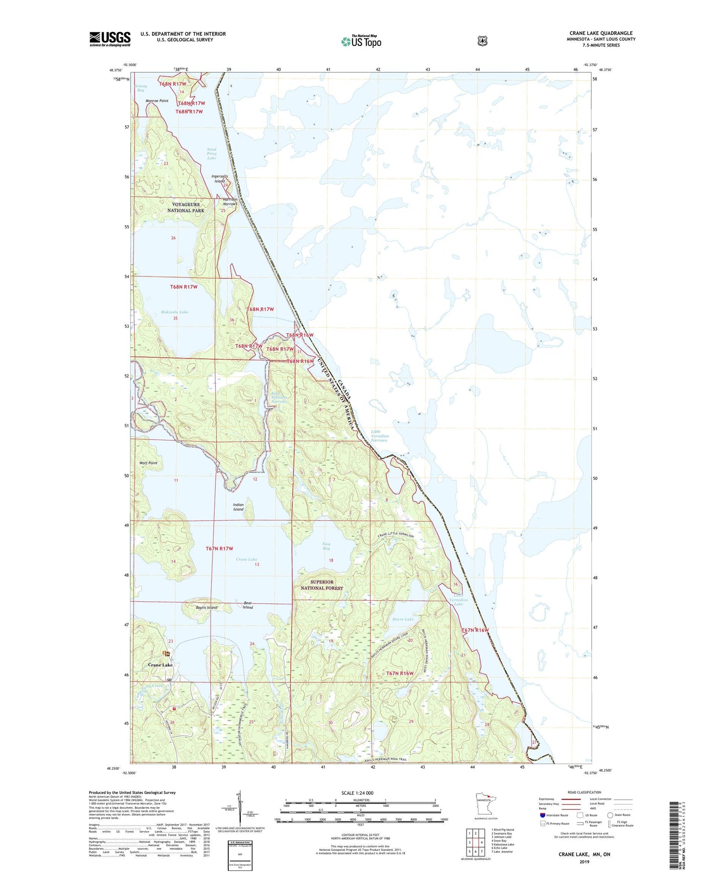
2022 topographic map quadrangle Crane Lake in the state of Minnesota. Scale: 1:24000. Based on the newly updated USGS 7.5' US Topo map series, this map is in the following counties: St. Louis. The map contains contour data, water features, and other items you are used to seeing on USGS maps, but also has updated roads and other features. This is the next generation of topographic maps. Printed on high-quality waterproof paper with UV fade-resistant inks.
Quads adjacent to this one:
West: Johnson Lake
Northwest: Blind Pig Island
North: Swansons Bay
East: Snow Bay
Southeast: Lake Jeanette
South: Echo Lake
Southwest: Kabustasa Lake
This map covers the same area as the classic USGS quad with code o48092c4.
Contains the following named places: Baylis Island, Bear Island, Camp Forty Creek, Crane Lake, Crane Lake Chapel, Crane Lake Post Office, Crane Lake Volunteer Fire Department, Dovre Lake, East Bay, Echo River, Harding Post Office, Harrison Narrows, Indian Island, Ingersolls Island, King Williams Narrows, Little Vermilion Lake, Little Vermilion Narrows, Loon River, Monroe Point, Mukooda Lake, Rollick Bay, Sand Beach Campground, Scotts Seaplane Base, United States Customs and Border Protection - Port of Entry - Crane Lake, Wolf Point