MyTopo
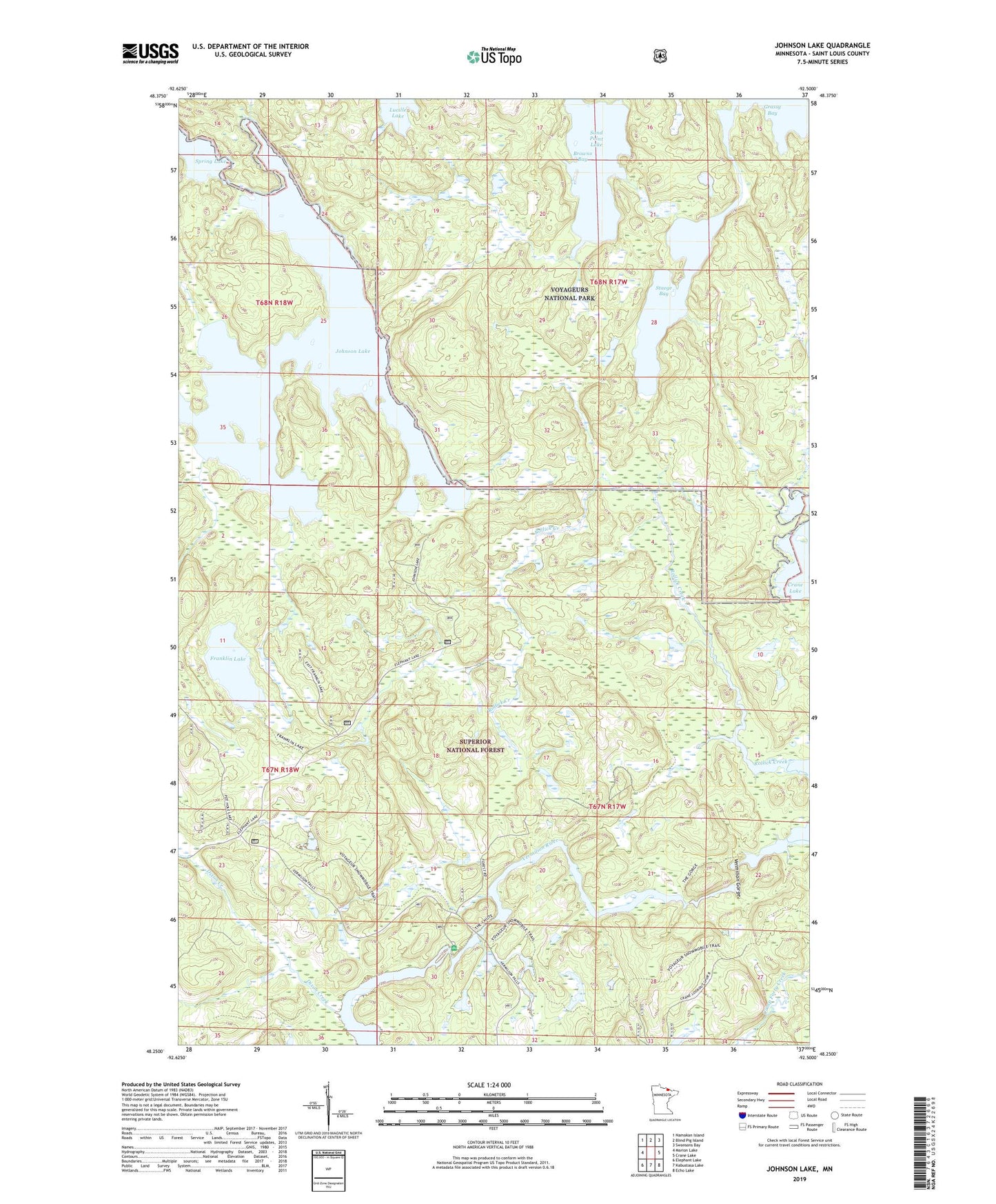
Johnson Lake Minnesota US Topo Map
Couldn't load pickup availability
Also explore the Johnson Lake Forest Service Topo of this same quad for updated USFS data
2022 topographic map quadrangle Johnson Lake in the state of Minnesota. Scale: 1:24000. Based on the newly updated USGS 7.5' US Topo map series, this map is in the following counties: St. Louis. The map contains contour data, water features, and other items you are used to seeing on USGS maps, but also has updated roads and other features. This is the next generation of topographic maps. Printed on high-quality waterproof paper with UV fade-resistant inks.
Quads adjacent to this one:
West: Marion Lake
Northwest: Namakan Island
North: Blind Pig Island
Northeast: Swansons Bay
East: Crane Lake
Southeast: Echo Lake
South: Kabustasa Lake
Southwest: Elephant Lake
This map covers the same area as the classic USGS quad with code o48092c5.
Contains the following named places: Browns Bay, Dixon Creek, Franklin Lake, Johnson Lake, Rollick Creek, Staege Bay, Township of Crane Lake, Vermilion Gorge, Vermilion River, Vermillion Falls Picnic Area