MyTopo
Dewey Lake Minnesota US Topo Map
Couldn't load pickup availability
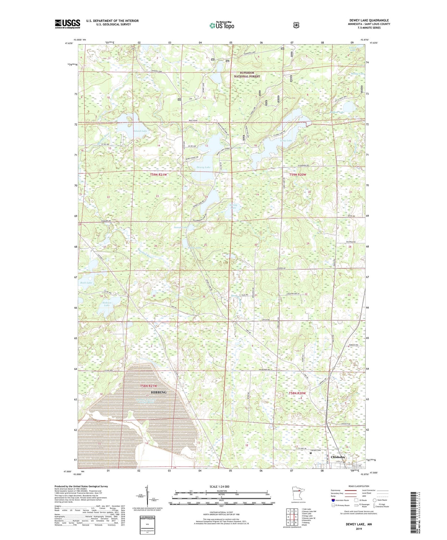
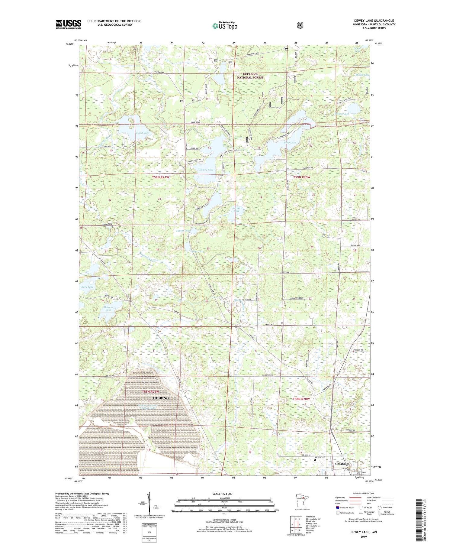
2019 topographic map quadrangle Dewey Lake in the state of Minnesota. Scale: 1:24000. Based on the newly updated USGS 7.5' US Topo map series, this map is in the following counties: St. Louis. The map contains contour data, water features, and other items you are used to seeing on USGS maps, but also has updated roads and other features. This is the next generation of topographic maps. Printed on high-quality waterproof paper with UV fade-resistant inks.
Quads adjacent to this one:
West: Stingy Lake
Northwest: Side Lake
North: Dewey Lake NW
Northeast: Dark Lake
East: Dewey Lake SE
Southeast: Buhl
South: Hibbing
Southwest: Keewatin
Contains the following named places: Balkan Lake, Calvary Cemetery, Camp Austin, Dewey Lake, Dollar Lake, Hibbing Taconite Starter Dam Three, Hibbing Taconite Tailings Basin, Hobson Lake, Island Lake, Long Lake, Louise Lake, McCormack Lake, Rock Lake, Shoepack Lake, Spring Lake, Sunset Lake, Unorganized Territory of McCormack