MyTopo
Dewey Lake NW Minnesota US Topo Map
Couldn't load pickup availability
Also explore the Dewey Lake NW Forest Service Topo of this same quad for updated USFS data
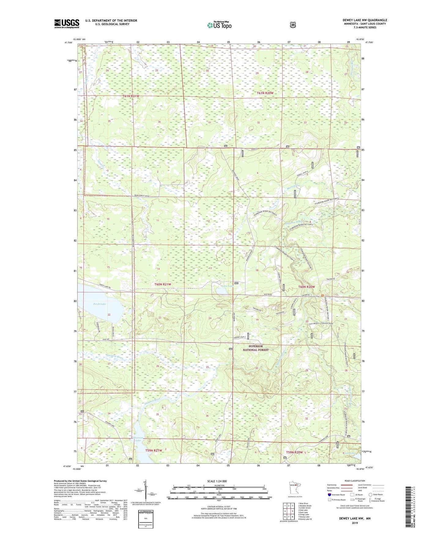
2022 topographic map quadrangle Dewey Lake NW in the state of Minnesota. Scale: 1:24000. Based on the newly updated USGS 7.5' US Topo map series, this map is in the following counties: St. Louis. The map contains contour data, water features, and other items you are used to seeing on USGS maps, but also has updated roads and other features. This is the next generation of topographic maps. Printed on high-quality waterproof paper with UV fade-resistant inks.
Quads adjacent to this one:
West: Side Lake
Northwest: Bear River
North: Meadow Brook
Northeast: Linden Grove
East: Dark Lake
Southeast: Dewey Lake SE
South: Dewey Lake
Southwest: Stingy Lake
This map covers the same area as the classic USGS quad with code o47092f8.
Contains the following named places: East Branch Sturgeon River, Jean Lake, Luna Lake, Perch Lake, Shannon Lake, Shannon River, Township of French