MyTopo
Gowan Minnesota US Topo Map
Couldn't load pickup availability
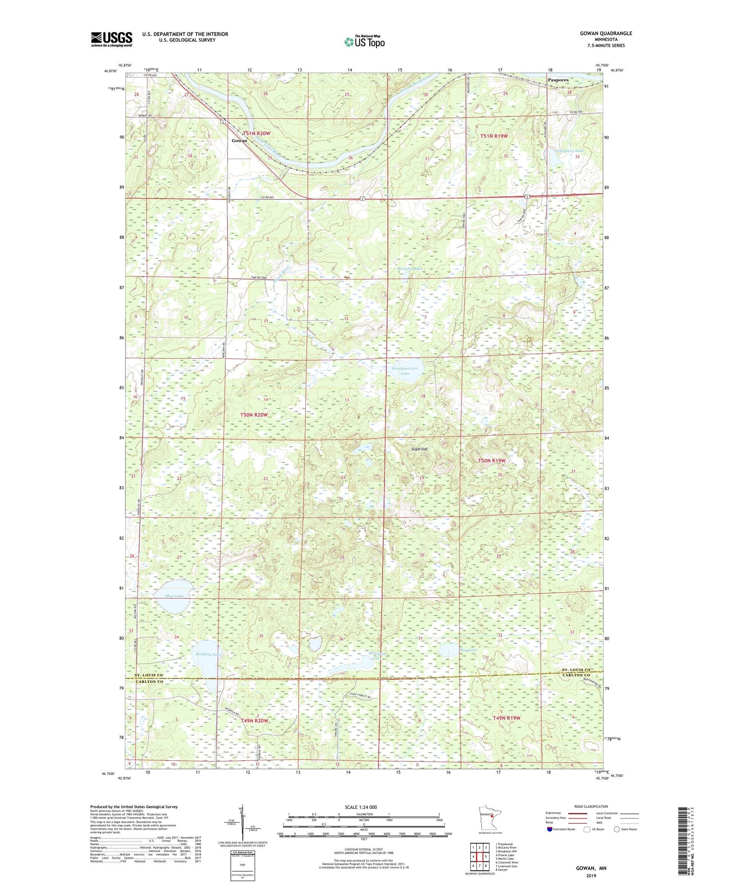
2022 topographic map quadrangle Gowan in the state of Minnesota. Scale: 1:24000. Based on the newly updated USGS 7.5' US Topo map series, this map is in the following counties: St. Louis, Carlton. The map contains contour data, water features, and other items you are used to seeing on USGS maps, but also has updated roads and other features. This is the next generation of topographic maps. Printed on high-quality waterproof paper with UV fade-resistant inks.
Quads adjacent to this one:
West: Prairie Lake
Northwest: Floodwood
North: McCarty River
Northeast: Brookston NW
East: Martin Lake
Southeast: Sawyer
South: Cromwell East
Southwest: Cromwell West
This map covers the same area as the classic USGS quad with code o46092g7.
Contains the following named places: Ahmik River, Bog Lake, Catlin Post Office, Gowan, Gowan Post Office, Headquarters Lake, Heikkila Lake, Kingburg Lake, Mirbat State Station, Mud Lake, Murphy Lake, Paupores, Sugarloaf, Thirtysix Lake, Township of Fine Lakes, Willowbrook Golf Course