MyTopo
Independence Minnesota US Topo Map
Couldn't load pickup availability
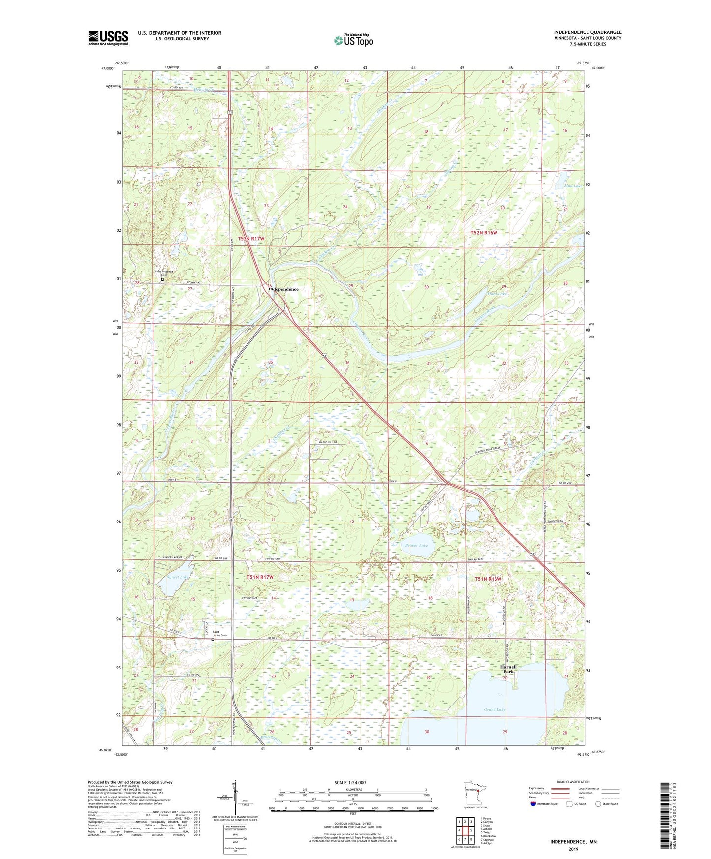
2022 topographic map quadrangle Independence in the state of Minnesota. Scale: 1:24000. Based on the newly updated USGS 7.5' US Topo map series, this map is in the following counties: St. Louis. The map contains contour data, water features, and other items you are used to seeing on USGS maps, but also has updated roads and other features. This is the next generation of topographic maps. Printed on high-quality waterproof paper with UV fade-resistant inks.
Quads adjacent to this one:
West: Alborn
Northwest: Payne
North: Canyon
Northeast: Shaw
East: Twig
Southeast: Adolph
South: Saginaw
Southwest: Brookston
This map covers the same area as the classic USGS quad with code o46092h4.
Contains the following named places: Beartrap Creek, Beaver Lake, Chalberg Creek, Chicken Creek, Grand Lake, Harnell Park, Hellwig Creek, Independence, Independence Post Office, Independence Rest Area, Mud Lake, New Independence Cemetery, Saint Johns Cemetery, Spring Creek, Sunset Lake, Third Lake, Township of Industrial, Township of New Independence, Twig Chapel, ZIP Code: 55779