MyTopo
Kabustasa Lake Minnesota US Topo Map
Couldn't load pickup availability
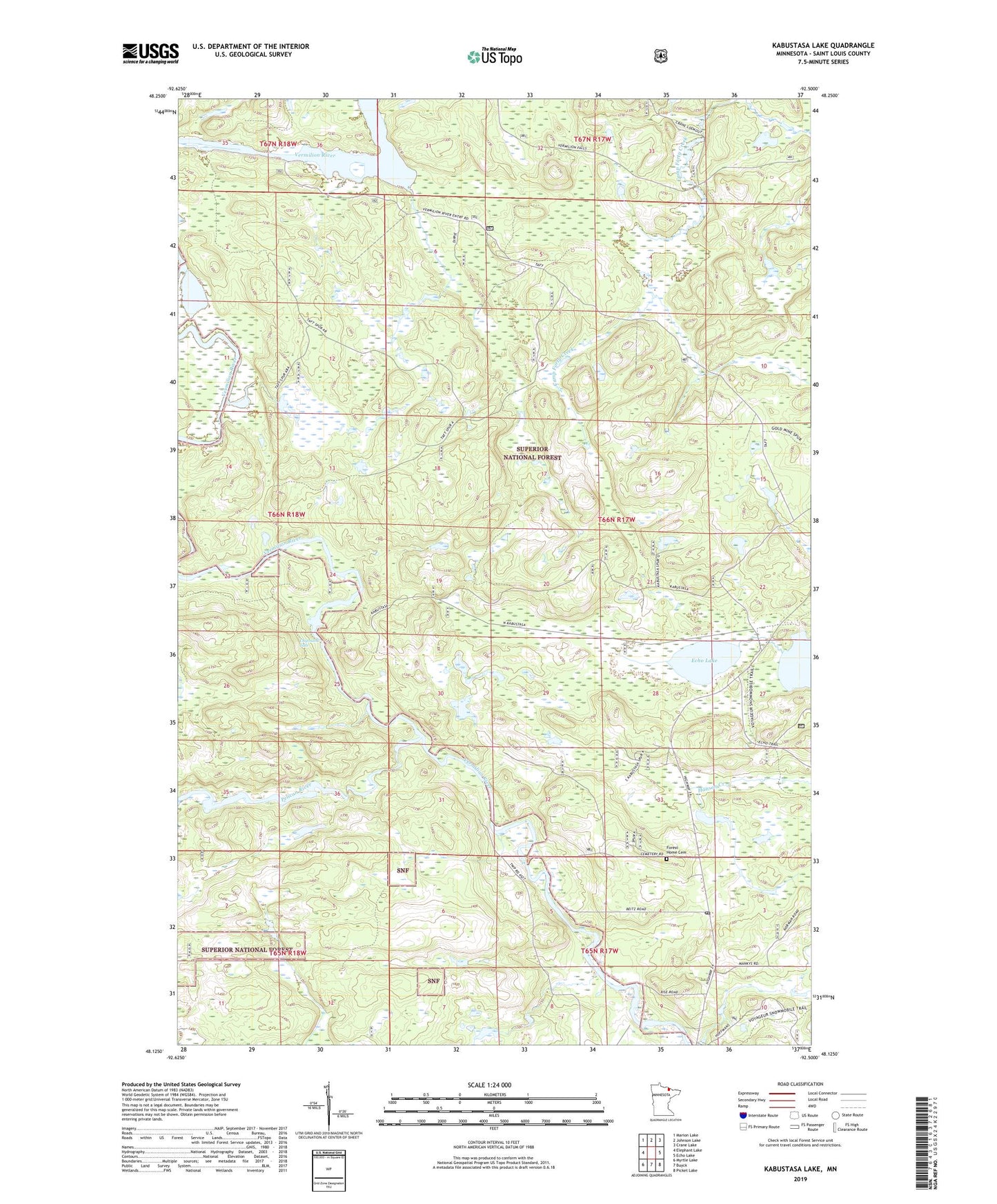
2019 topographic map quadrangle Kabustasa Lake in the state of Minnesota. Scale: 1:24000. Based on the newly updated USGS 7.5' US Topo map series, this map is in the following counties: St. Louis. The map contains contour data, water features, and other items you are used to seeing on USGS maps, but also has updated roads and other features. This is the next generation of topographic maps. Printed on high-quality waterproof paper with UV fade-resistant inks.
Quads adjacent to this one:
West: Elephant Lake
Northwest: Marion Lake
North: Johnson Lake
Northeast: Crane Lake
East: Echo Lake
Southeast: Picket Lake
South: Buyck
Southwest: Myrtle Lake
Contains the following named places: Buyck Post Office, Chipmunk Falls, Crane Lake Lookout Tower, Daniels Pond, Daniels Pond Dam, Echo Lake, Forest Home Cemetery, John Congdon Goldmine Wetlands, Kabustasa Lake, Morris Finstad Wildlife Pond Dam, Pelican River, Township of Portage