MyTopo
Kelsey Minnesota US Topo Map
Couldn't load pickup availability
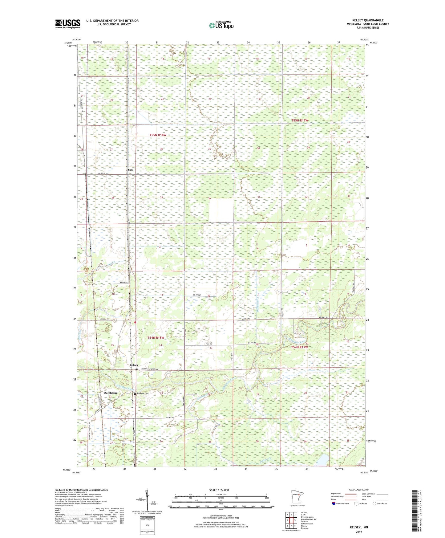
2022 topographic map quadrangle Kelsey in the state of Minnesota. Scale: 1:24000. Based on the newly updated USGS 7.5' US Topo map series, this map is in the following counties: St. Louis. The map contains contour data, water features, and other items you are used to seeing on USGS maps, but also has updated roads and other features. This is the next generation of topographic maps. Printed on high-quality waterproof paper with UV fade-resistant inks.
Quads adjacent to this one:
West: Meadowlands NW
Northwest: Casco
North: Zim
Northeast: Central Lakes
East: Cotton
Southeast: Canyon
South: Payne
Southwest: Meadowlands
This map covers the same area as the classic USGS quad with code o47092b5.
Contains the following named places: Community Church, Cotton Lookout Tower, Deadmans Creek, Dumblane, Jenkins Creek, Kelsey, Kelsey Post Office, Kelsey Station, Kelsey Volunteer Fire Department, Riverside Cemetery, Sax, Sax Post Office, Sax Station, Township of Kelsey