MyTopo
Kingston Minnesota US Topo Map
Couldn't load pickup availability
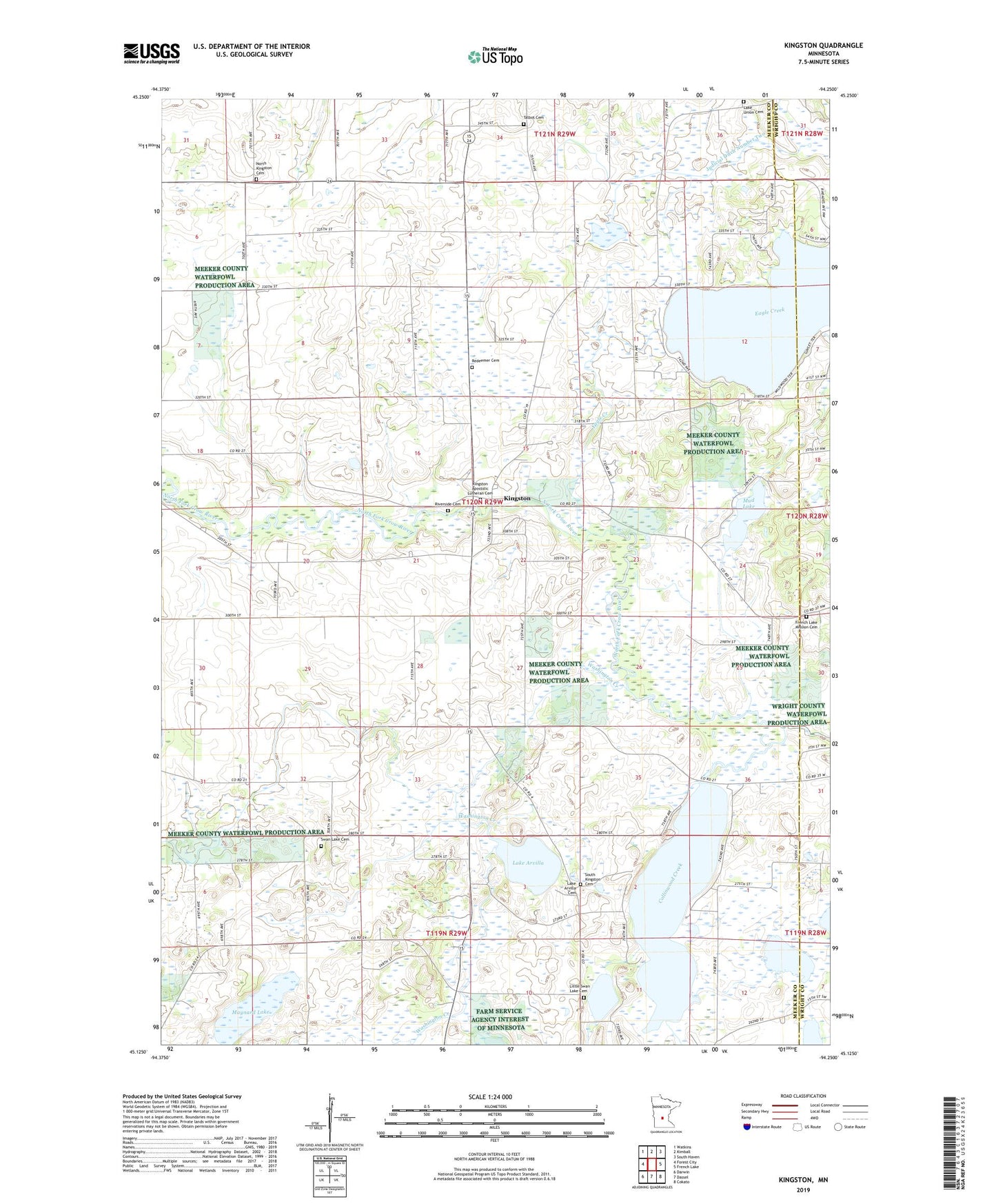
2019 topographic map quadrangle Kingston in the state of Minnesota. Scale: 1:24000. Based on the newly updated USGS 7.5' US Topo map series, this map is in the following counties: Meeker, Wright. The map contains contour data, water features, and other items you are used to seeing on USGS maps, but also has updated roads and other features. This is the next generation of topographic maps. Printed on high-quality waterproof paper with UV fade-resistant inks.
Quads adjacent to this one:
West: Forest City
Northwest: Watkins
North: Kimball
Northeast: South Haven
East: French Lake
Southeast: Cokato
South: Dassel
Southwest: Darwin
Contains the following named places: Big Swan Lake, Big Swan Lake School, Chevere School, City of Kingston, Collinwood Creek, County Ditch Number Nine, County Ditch Number Twentyfive, Eagle Creek, Finnish Memorial County Park, French Lake Church, French Lake Mission Cemetery, Hilltop School, Judicial Ditch Number Two, Kingston, Kingston Apostolic Church, Kingston Apostolic Lutheran Cemetery, Kingston Post Office, Knapp State Wildlife Management Area, Kramers Family Resort Campground, Lake Arvilla, Lake Arvilla Cemetery, Lake Francis, Lake Union Cemetery, Lake Union Church, Little Swan Lake, Little Swan Lake Cemetery, Maynard Lake, Maynard Lake School, Mud Lake, North Kingston Cemetery, Pleasant Grove School, Redeemer Cemetery, Riverside Cemetery, South Kingston Cemetery, South Kingston Church, Swan Lake, Swan Lake Cemetery, Swan Lake Church, Talbot Cemetery, Township of Kingston, Washington Creek