MyTopo
Lake Elizabeth Minnesota US Topo Map
Couldn't load pickup availability
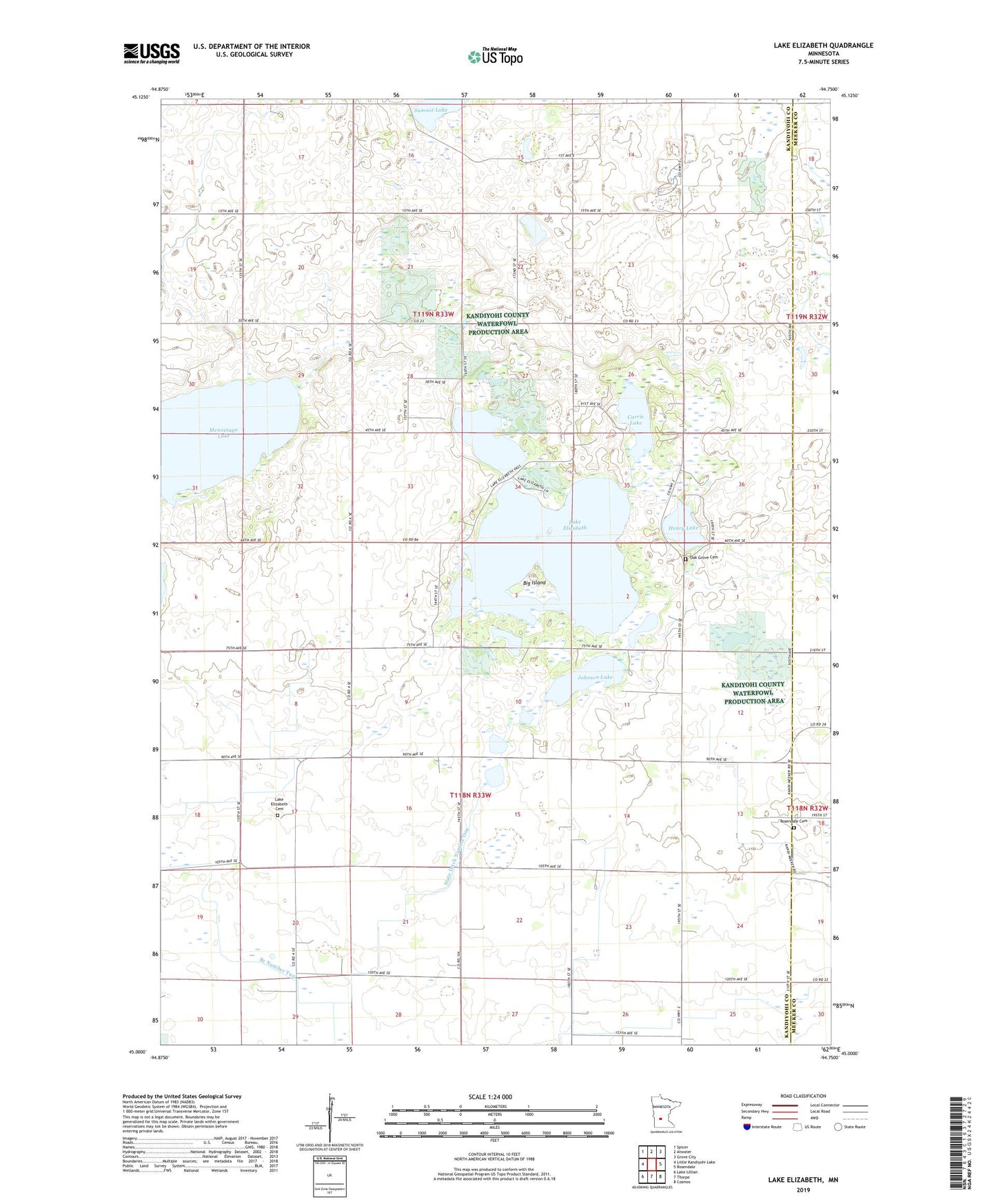
2022 topographic map quadrangle Lake Elizabeth in the state of Minnesota. Scale: 1:24000. Based on the newly updated USGS 7.5' US Topo map series, this map is in the following counties: Kandiyohi, Meeker. The map contains contour data, water features, and other items you are used to seeing on USGS maps, but also has updated roads and other features. This is the next generation of topographic maps. Printed on high-quality waterproof paper with UV fade-resistant inks.
Quads adjacent to this one:
West: Little Kandiyohi Lake
Northwest: Spicer
North: Atwater
Northeast: Grove City
East: Rosendale
Southeast: Cosmos
South: Thorpe
Southwest: Lake Lillian
This map covers the same area as the classic USGS quad with code o45094a7.
Contains the following named places: Big Island, Branch Number Two, Carrie Lake, Charlotte Lake, County Ditch Number Twentyeight, Ella Lake, Gennesse State Wildlife Management Area, Henry Lake, Johnson Lake, KYRS-FM (Atwater), Lake Elizabeth, Lake Elizabeth Cemetery, Lake Elizabeth Church, Mennetaga Lake, Oak Grove Cemetery, Otter Lake, Rosendale Cemetery, Rosendale Church, School Number 38, School Number 75, School Number 96, Stanton Hill Aerodrome, State Ditch Number One, Township of Gennessee, Township of Lake Elizabeth