MyTopo
Lake George Minnesota US Topo Map
Couldn't load pickup availability
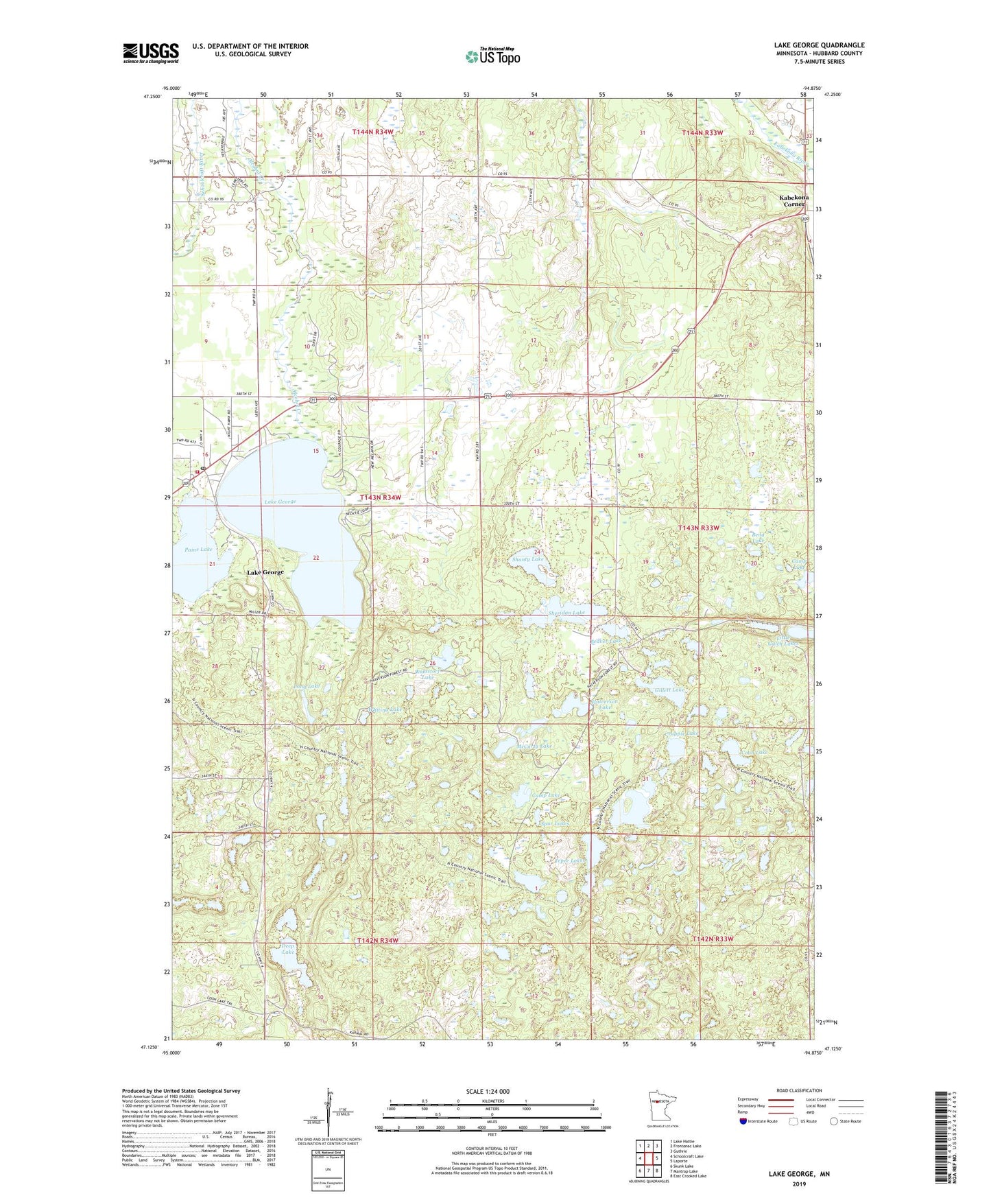
2019 topographic map quadrangle Lake George in the state of Minnesota. Scale: 1:24000. Based on the newly updated USGS 7.5' US Topo map series, this map is in the following counties: Hubbard. The map contains contour data, water features, and other items you are used to seeing on USGS maps, but also has updated roads and other features. This is the next generation of topographic maps. Printed on high-quality waterproof paper with UV fade-resistant inks.
Quads adjacent to this one:
West: Schoolcraft Lake
Northwest: Lake Hattie
North: Frontenac Lake
Northeast: Guthrie
East: Laporte
Southeast: East Crooked Lake
South: Mantrap Lake
Southwest: Skunk Lake
Contains the following named places: Beaver Lake, Bend Lake, Camp Lake, Coon Lake, Crappie Lake, Deep Lake, Gillett Lake, Halverson Lake, Island Lake, Kabekona Corner, Kabekona Lookout Tower, Kabekona Post Office, Kahlstorf Lake, Ken and Debi Lathrop Mobile Home Park, KLLR-FM (Walker), Lake George, Lake George Bible Chapel, Lake George Census Designated Place, Lake George Fire Department, Lake George Pines Mobile Home Park, Lake George Police Department, Lake George Post Office, Long Lake, McCarty Lake, Niawa Post Office, Niawa Railroad Station, Paine Lake, Shanty Lake, Sheridan Lake, Spur Lakes, Tepee Lakes, Township of Lake George, Trinity Lutheran Church, Whiting Lake, ZIP Code: 56458