MyTopo
Little Rock Lake Minnesota US Topo Map
Couldn't load pickup availability
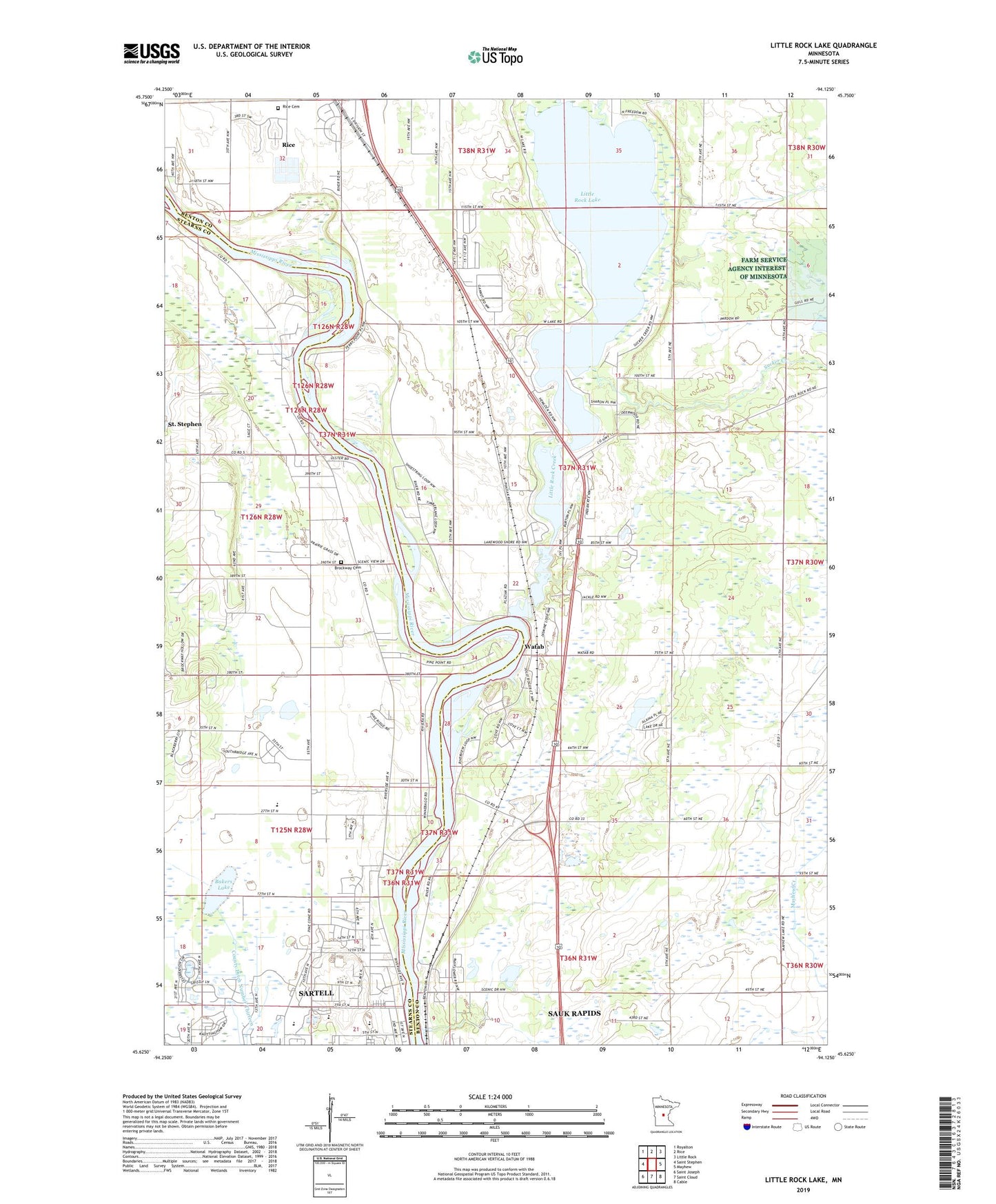
2019 topographic map quadrangle Little Rock Lake in the state of Minnesota. Scale: 1:24000. Based on the newly updated USGS 7.5' US Topo map series, this map is in the following counties: Benton, Stearns. The map contains contour data, water features, and other items you are used to seeing on USGS maps, but also has updated roads and other features. This is the next generation of topographic maps. Printed on high-quality waterproof paper with UV fade-resistant inks.
Quads adjacent to this one:
West: Saint Stephen
Northwest: Royalton
North: Rice
Northeast: Little Rock
East: Mayhew
Southeast: Cable
South: Saint Cloud
Southwest: Saint Joseph
Contains the following named places: Bakers Lake, Benton Beach Campground, Blackberry Ridge Golf Course, Brockway Cemetery, Celebration Lutheran Church, County Ditch Number Ten, County Ditch Number Thirteen, KCUS-AM (Sartell), KKSR-FM (Sartell), Little Rock Creek, Little Rock Lake, Little Rock-Rock Port Airport, New Hope Church, Northside Park, Oak Hill Golf Club, Pine Meadow Elementary School, Rice Cemetery, Riverside Presbyterian Church, Rockwood Estates, Sartell Golf Club, Sartell High School, Sartell Middle School, Shepherd of the Pines Lutheran Church, Sucker Creek, Township of Le Sauk, Township of Sauk Rapids, Township of Watab, Victory Baptist Church, Watab, Watob Post Office, Zuleger Creek, ZIP Code: 56377