MyTopo
Little Rock Minnesota US Topo Map
Couldn't load pickup availability
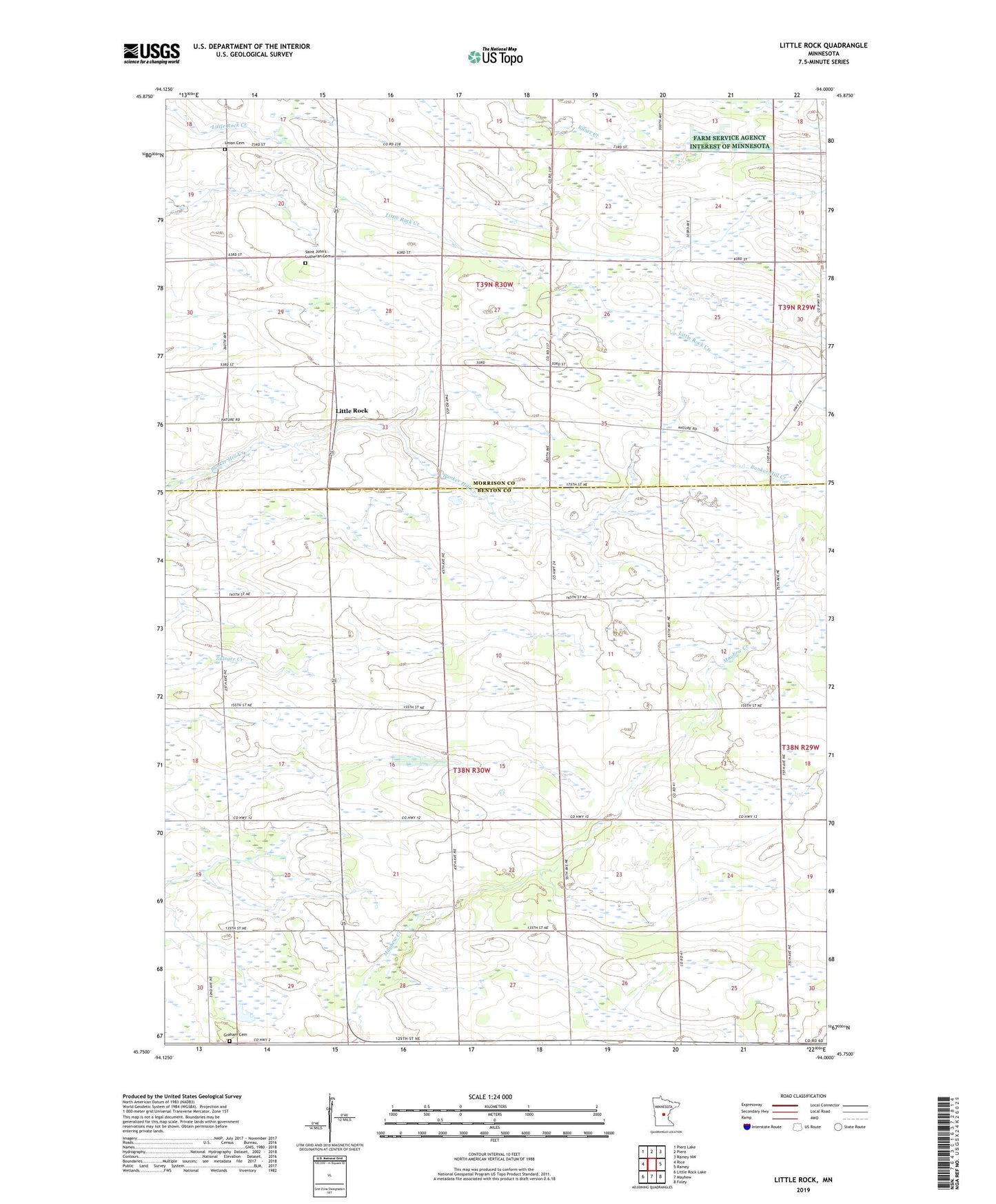
2019 topographic map quadrangle Little Rock in the state of Minnesota. Scale: 1:24000. Based on the newly updated USGS 7.5' US Topo map series, this map is in the following counties: Benton, Morrison. The map contains contour data, water features, and other items you are used to seeing on USGS maps, but also has updated roads and other features. This is the next generation of topographic maps. Printed on high-quality waterproof paper with UV fade-resistant inks.
Quads adjacent to this one:
West: Rice
Northwest: Pierz Lake
North: Pierz
Northeast: Ramey NW
East: Ramey
Southeast: Foley
South: Mayhew
Southwest: Little Rock Lake
Contains the following named places: Graham Cemetery, Graham Church, Little Rock, Saint Johns Church, Saint John's Lutheran Cemetery, Silver Corners, Township of Buckman, Township of Graham, Union Cemetery, Wisneski State Wildlife Management Area, WWJO-FM (Saint Cloud)