MyTopo
Pierz Lake Minnesota US Topo Map
Couldn't load pickup availability
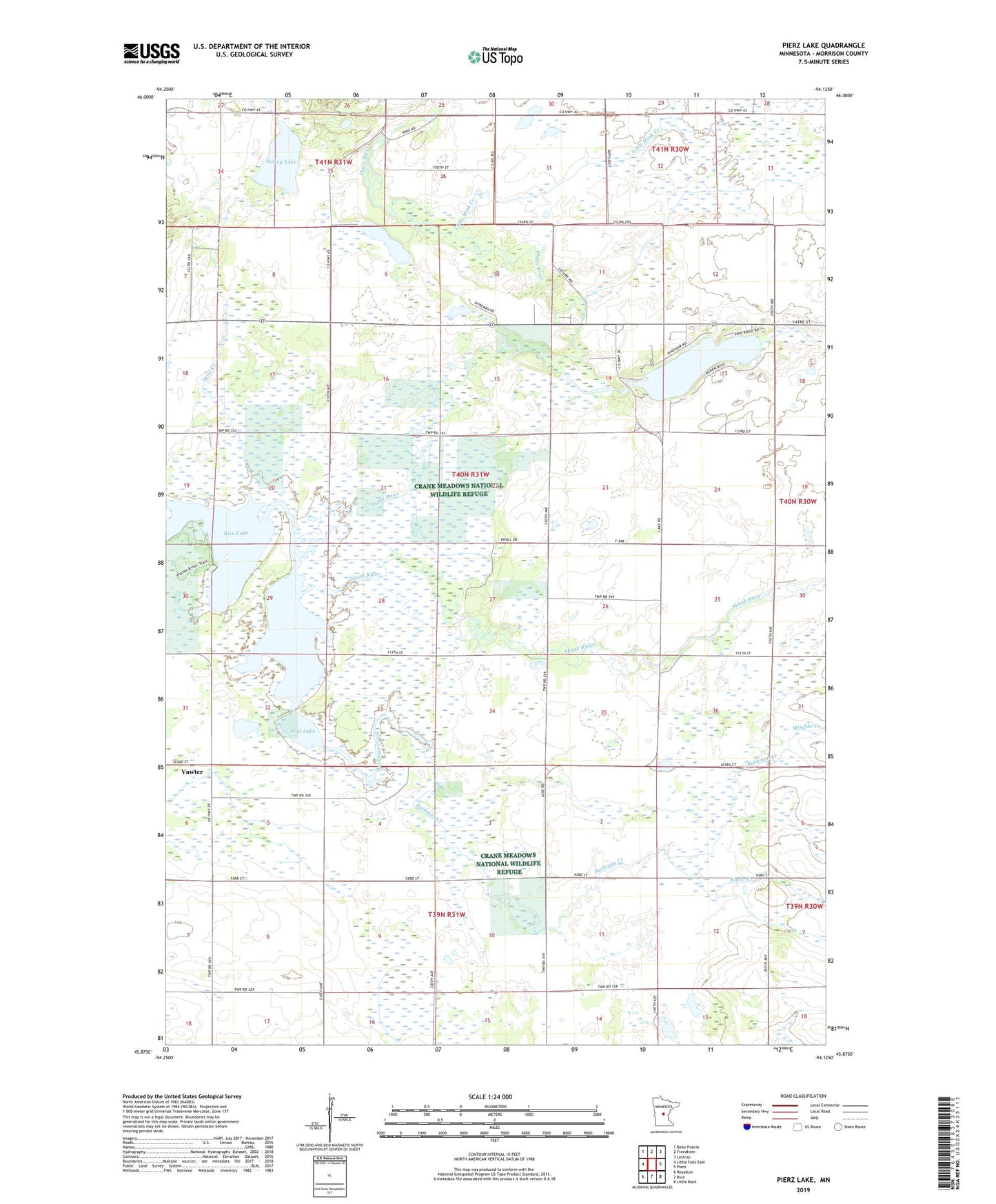
2022 topographic map quadrangle Pierz Lake in the state of Minnesota. Scale: 1:24000. Based on the newly updated USGS 7.5' US Topo map series, this map is in the following counties: Morrison. The map contains contour data, water features, and other items you are used to seeing on USGS maps, but also has updated roads and other features. This is the next generation of topographic maps. Printed on high-quality waterproof paper with UV fade-resistant inks.
Quads adjacent to this one:
West: Little Falls East
Northwest: Belle Prairie
North: Freedhem
Northeast: Lastrup
East: Pierz
Southeast: Little Rock
South: Rice
Southwest: Royalton
This map covers the same area as the classic USGS quad with code o45094h2.
Contains the following named places: Buckman Creek, Frieze Lake, Kuntz Creek, Little Mink Creek, Mischke Creek, Mud Lake, Pelkey Lake, Pierz Lake, Pierz Lake Dam, Rice Creek, Rice Lake, Rice-Skunk Lake State Wildlife Management A, Skunk Lake, Skunk River, Township of Agram, Vawter, Vawter Post Office