MyTopo
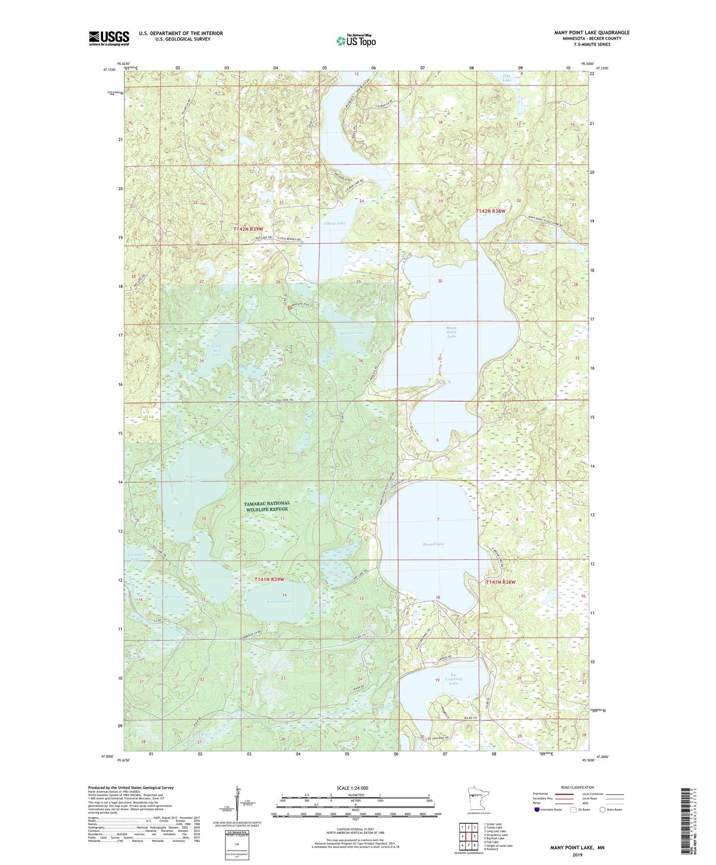
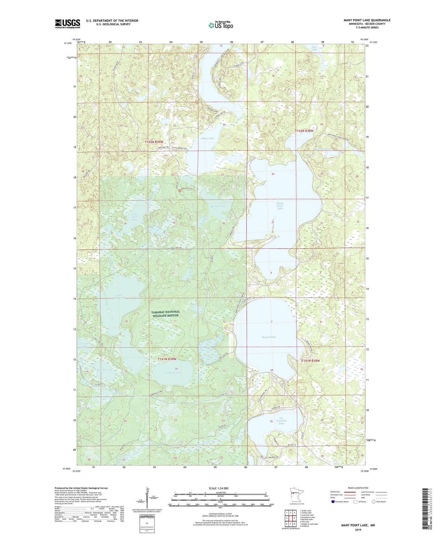
Many Point Lake Minnesota US Topo Map
Couldn't load pickup availability
2019 topographic map quadrangle Many Point Lake in the state of Minnesota. Scale: 1:24000. Based on the newly updated USGS 7.5' US Topo map series, this map is in the following counties: Becker. The map contains contour data, water features, and other items you are used to seeing on USGS maps, but also has updated roads and other features. This is the next generation of topographic maps. Printed on high-quality waterproof paper with UV fade-resistant inks.
Quads adjacent to this one:
West: Strawberry Lake
Northwest: Snider Lake
North: Tulaby Lake
Northeast: Long Lost Lake
East: Big Rush Lake
Southeast: Ponsford
South: Height of Land Lake
Southwest: Flat Lake
Contains the following named places: Beaver Lake, Bush Lake, Dry Lake, Dry Lake Dam, Ice Cracking Lake, Little Bemidji Lake, Little Bemidji Lake Dam, Little Rice Lake, Lower Egg Lake, Mallard Lake, Many Point Lake, Many Point Lake Dam, Round Lake, Round Lake Dam, Rush Lake, Spindler Lake, Tamarac Resort and Campground, Tamarac Wilderness, Township of Eagle View, Upper Egg Lake, Waboose Lake, Whaley's Resort and Camp Site