MyTopo
Mizpah NE Minnesota US Topo Map
Couldn't load pickup availability
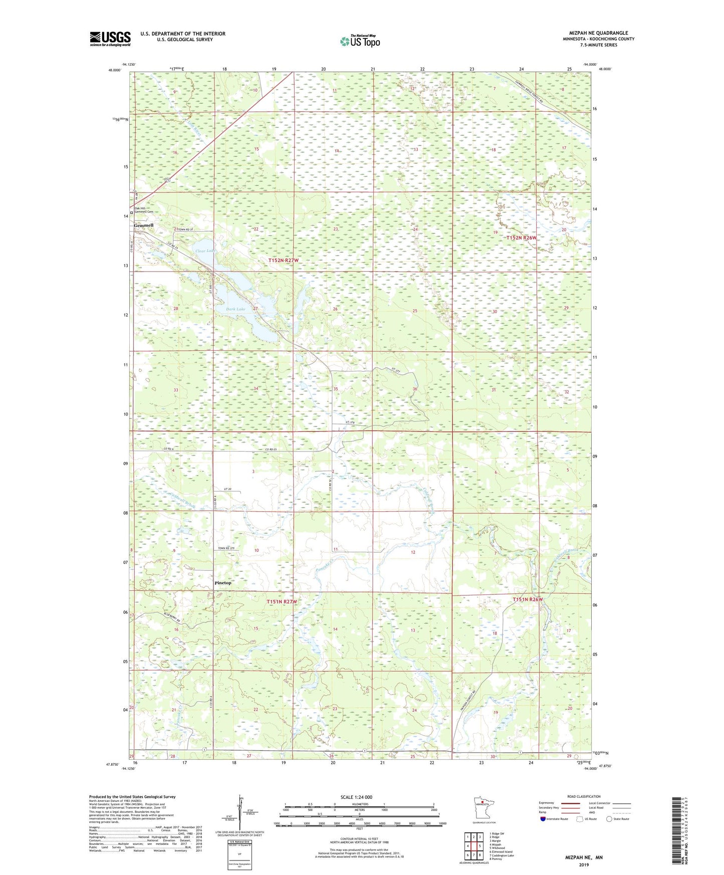
2019 topographic map quadrangle Mizpah NE in the state of Minnesota. Scale: 1:24000. Based on the newly updated USGS 7.5' US Topo map series, this map is in the following counties: Koochiching. The map contains contour data, water features, and other items you are used to seeing on USGS maps, but also has updated roads and other features. This is the next generation of topographic maps. Printed on high-quality waterproof paper with UV fade-resistant inks.
Quads adjacent to this one:
West: Mizpah
Northwest: Ridge SW
North: Ridge
Northeast: Margie
East: Wildwood
Southeast: Pomroy
South: Coddington Lake
Southwest: Elmwood Island
Contains the following named places: Clear Dark and Little Lakes Project Dam, Clear Lake, Dark Lake, Gemmell, Gemmell Community Church, Gemmell Post Office, Gemmell Station, Little Lake, Lower Trelipe Lake Dam, Oak Hill - Gemmell Cemetery, Pancake Creek, Pinetop