MyTopo
Pine Lake West Minnesota US Topo Map
Couldn't load pickup availability
Also explore the Pine Lake West Forest Service Topo of this same quad for updated USFS data
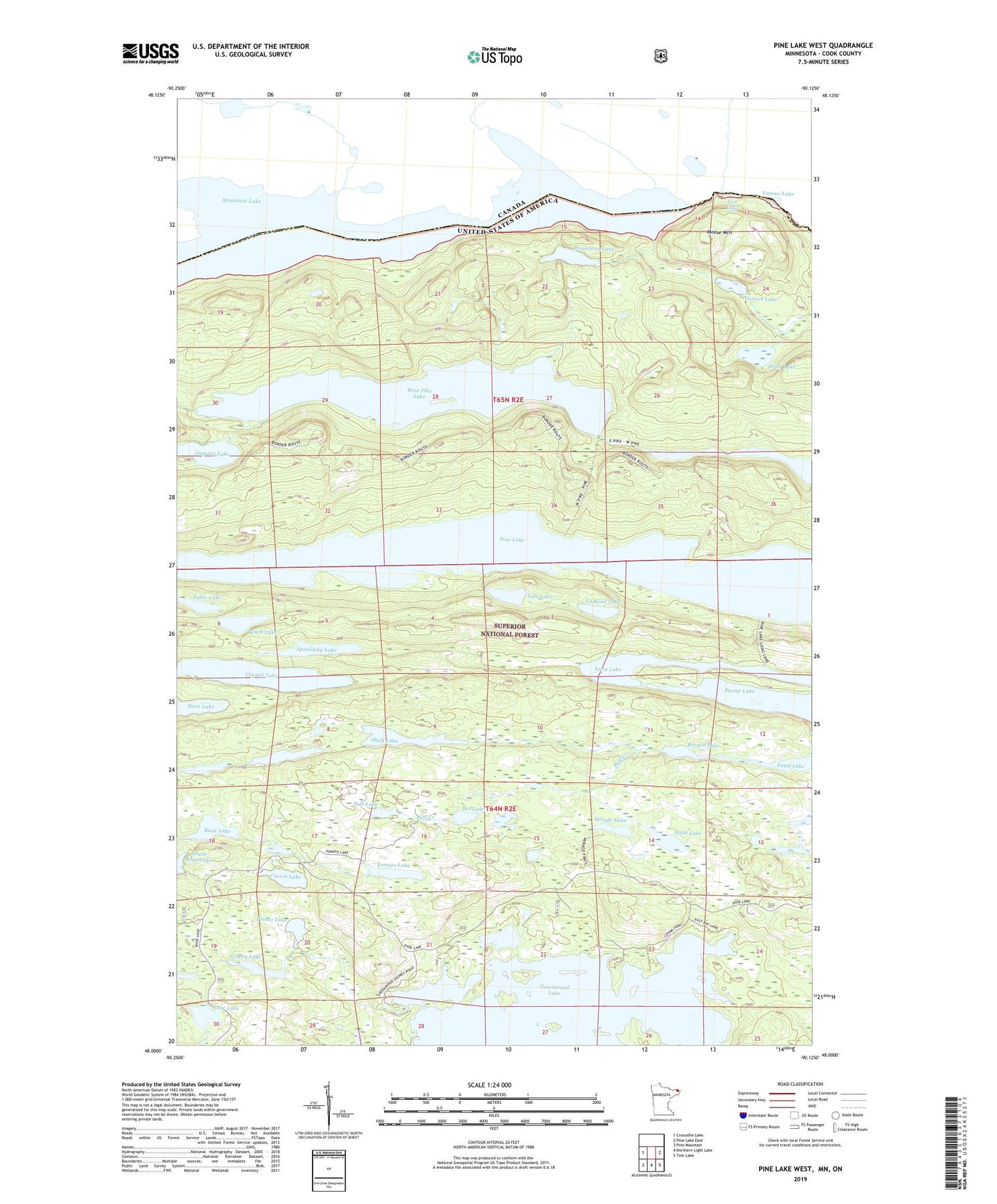
2022 topographic map quadrangle Pine Lake West in the state of Minnesota. Scale: 1:24000. Based on the newly updated USGS 7.5' US Topo map series, this map is in the following counties: Cook. The map contains contour data, water features, and other items you are used to seeing on USGS maps, but also has updated roads and other features. This is the next generation of topographic maps. Printed on high-quality waterproof paper with UV fade-resistant inks.
Quads adjacent to this one:
West: Crocodile Lake
East: Pine Lake East
Southeast: Tom Lake
South: Northern Light Lake
Southwest: Pine Mountain
This map covers the same area as the classic USGS quad with code o48090a2.
Contains the following named places: Bean Lake, Bench Lake, Bronco Lake, Canuck Lake, Carrot Lake, Celery Lake, Crystal Lake, Drag Lake, Fan Lake, Fan Lily Lakes, Fault Lake, Gadwall Lake, Gogebic Lake, Great Cherry Portage, Greenwood Lake, Kiowa Lake, Lesser Cherry Portage, Lily Lakes, Long Lake, Mirage Lake, Moose Mountain, Mountain Lake, North Shady Lake, Pea Lake, Pemmican Lake, Pine Lake, Potato Lake, Puff Creek, Puff Lake, Shelf Lake, Shoe Lake, Spaulding Lake, Stump Lake, Table Lake, Tittle Lake, Tomato Lake, Vale Lake, Vaseux Lake, Vaseux Portage, West Pike Lake