MyTopo
Plainview SW Minnesota US Topo Map
Couldn't load pickup availability
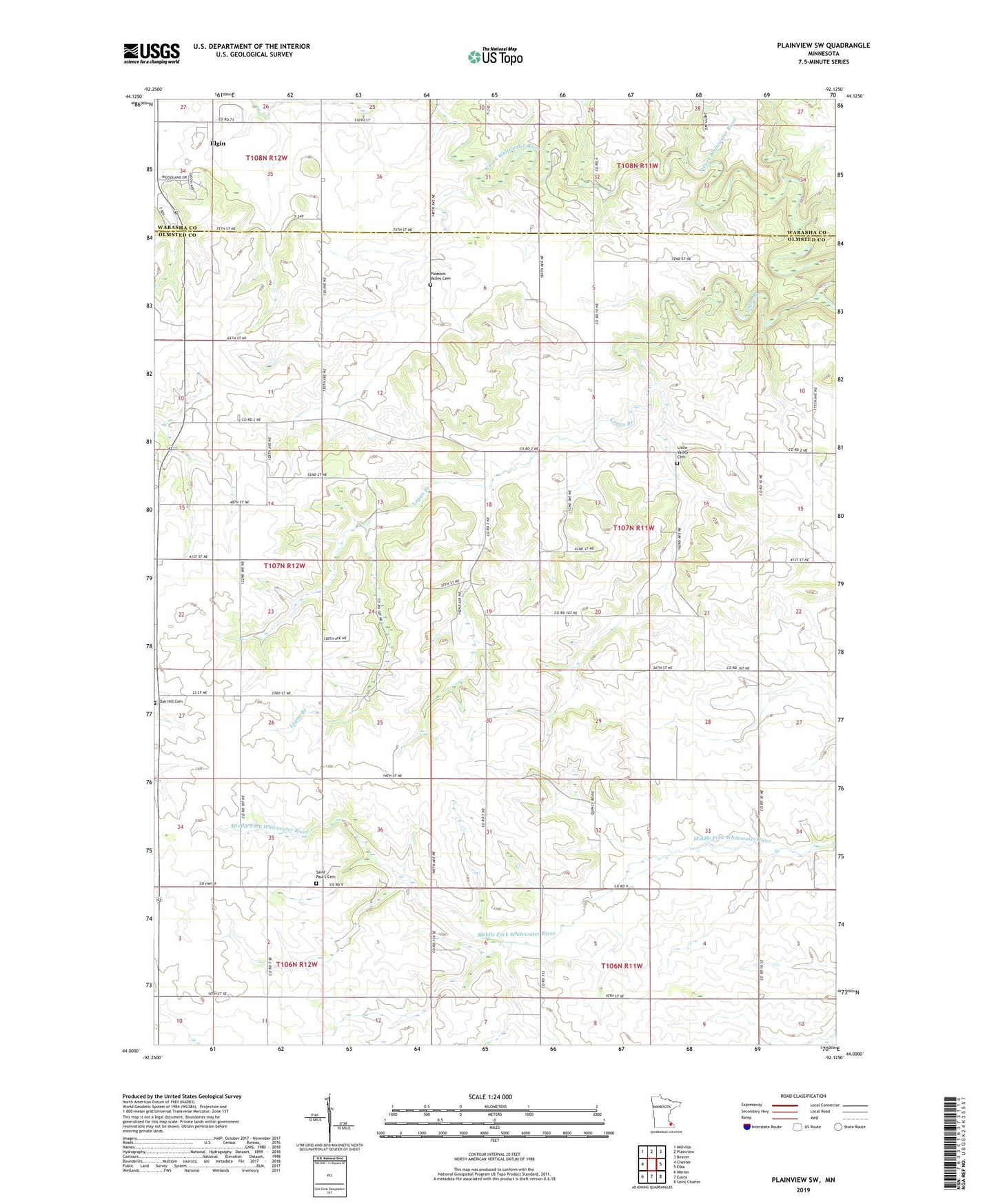
2019 topographic map quadrangle Plainview SW in the state of Minnesota. Scale: 1:24000. Based on the newly updated USGS 7.5' US Topo map series, this map is in the following counties: Olmsted, Wabasha. The map contains contour data, water features, and other items you are used to seeing on USGS maps, but also has updated roads and other features. This is the next generation of topographic maps. Printed on high-quality waterproof paper with UV fade-resistant inks.
Quads adjacent to this one:
West: Chester
Northwest: Millville
North: Plainview
Northeast: Beaver
East: Elba
Southeast: Saint Charles
South: Eyota
Southwest: Marion
Contains the following named places: Carley State Park, Little Valley Cemetery, Logan Branch, Oak Hill Cemetery, Pleasant Valley Cemetery, Reinecke Farms, Saint Paul's Cemetery, Saint Pauls Church, Township of Quincy