MyTopo
Beaver Minnesota US Topo Map
Couldn't load pickup availability
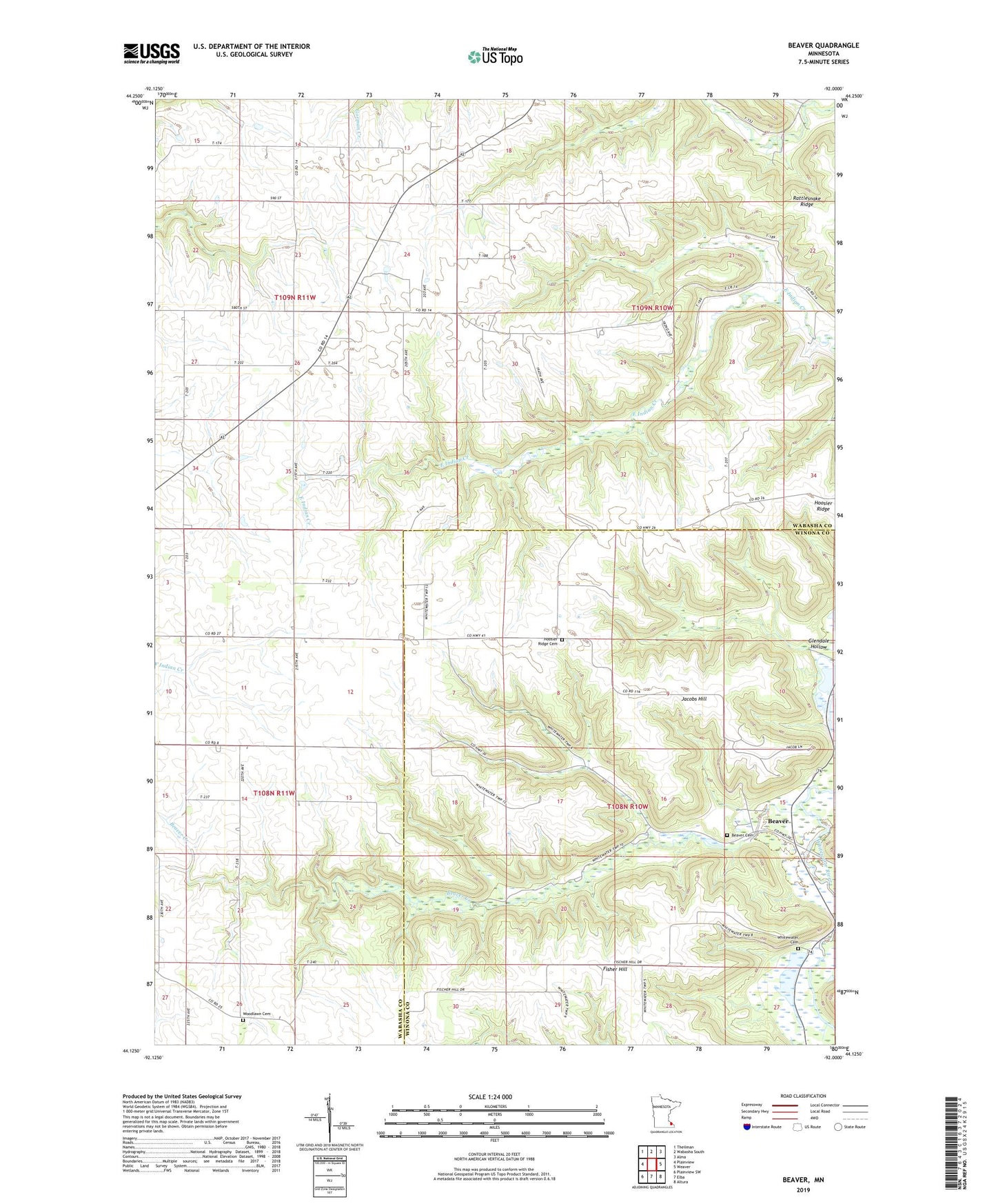
2022 topographic map quadrangle Beaver in the state of Minnesota. Scale: 1:24000. Based on the newly updated USGS 7.5' US Topo map series, this map is in the following counties: Wabasha, Winona. The map contains contour data, water features, and other items you are used to seeing on USGS maps, but also has updated roads and other features. This is the next generation of topographic maps. Printed on high-quality waterproof paper with UV fade-resistant inks.
Quads adjacent to this one:
West: Plainview
Northwest: Theilman
North: Wabasha South
Northeast: Alma
East: Weaver
Southeast: Altura
South: Elba
Southwest: Plainview SW
This map covers the same area as the classic USGS quad with code o44092b1.
Contains the following named places: Beaver, Beaver Cemetery, Beaver Creek, Beaver Post Office, Fisher Hill, Glendale Hollow, Hoosier Ridge Cemetery, Hoosier Ridge Church, Jacobs Hill, Rattlesnake Ridge, Township of Watopa, Township of Whitewater, Watopa Township Structure Number 1 Dam, Whitewater Cemetery, Woodlawn Cemetery