MyTopo
Princeton SW Minnesota US Topo Map
Couldn't load pickup availability
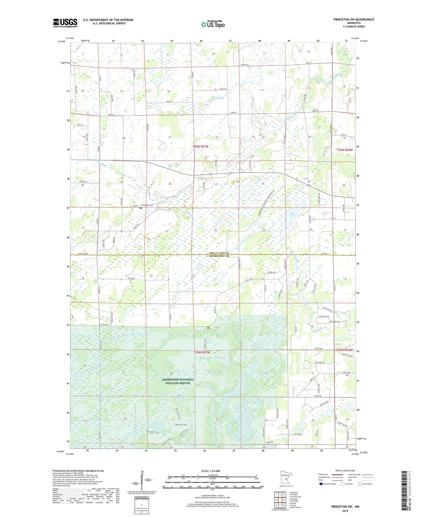
2022 topographic map quadrangle Princeton SW in the state of Minnesota. Scale: 1:24000. Based on the newly updated USGS 7.5' US Topo map series, this map is in the following counties: Mille Lacs, Sherburne. The map contains contour data, water features, and other items you are used to seeing on USGS maps, but also has updated roads and other features. This is the next generation of topographic maps. Printed on high-quality waterproof paper with UV fade-resistant inks.
Quads adjacent to this one:
West: Santiago
Northwest: Ronneby
North: Foreston
Northeast: Princeton NE
East: Princeton
Southeast: Lake Fremont
South: Orrock
Southwest: Becker
This map covers the same area as the classic USGS quad with code o45093e6.
Contains the following named places: County Ditch Number Six, County Ditch Number Three, Greenbush Catholic Cemetery, Kunkel State Wildlife Management Area, Pool 7, Prairie Brook, Rice Lake, Sherburne National Wildlife Refuge Pool 7A Dam, Township of Blue Hill, Township of Greenbush