MyTopo
Rabey Minnesota US Topo Map
Couldn't load pickup availability
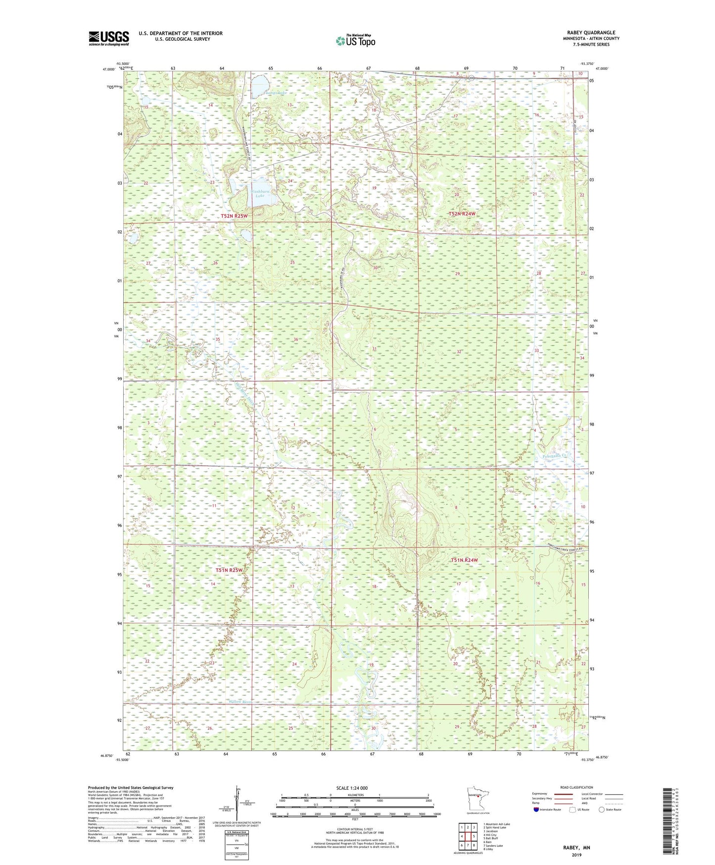
2019 topographic map quadrangle Rabey in the state of Minnesota. Scale: 1:24000. Based on the newly updated USGS 7.5' US Topo map series, this map is in the following counties: Aitkin. The map contains contour data, water features, and other items you are used to seeing on USGS maps, but also has updated roads and other features. This is the next generation of topographic maps. Printed on high-quality waterproof paper with UV fade-resistant inks.
Quads adjacent to this one:
West: Hill City
Northwest: Mountain Ash Lake
North: Split Hand Lake
Northeast: Jacobson
East: Ball Bluff
Southeast: Libby
South: Sanders Lake
Southwest: Bain
Contains the following named places: Hill River Ditch, Langs Lake, Moose Willow River Ditch, Rabey, Rabey Post Office, Township of Verdon, Washburn Lake, Washburn Lake Dam