
MyTopo
Red Lake Minnesota US Topo Map
Couldn't load pickup availability
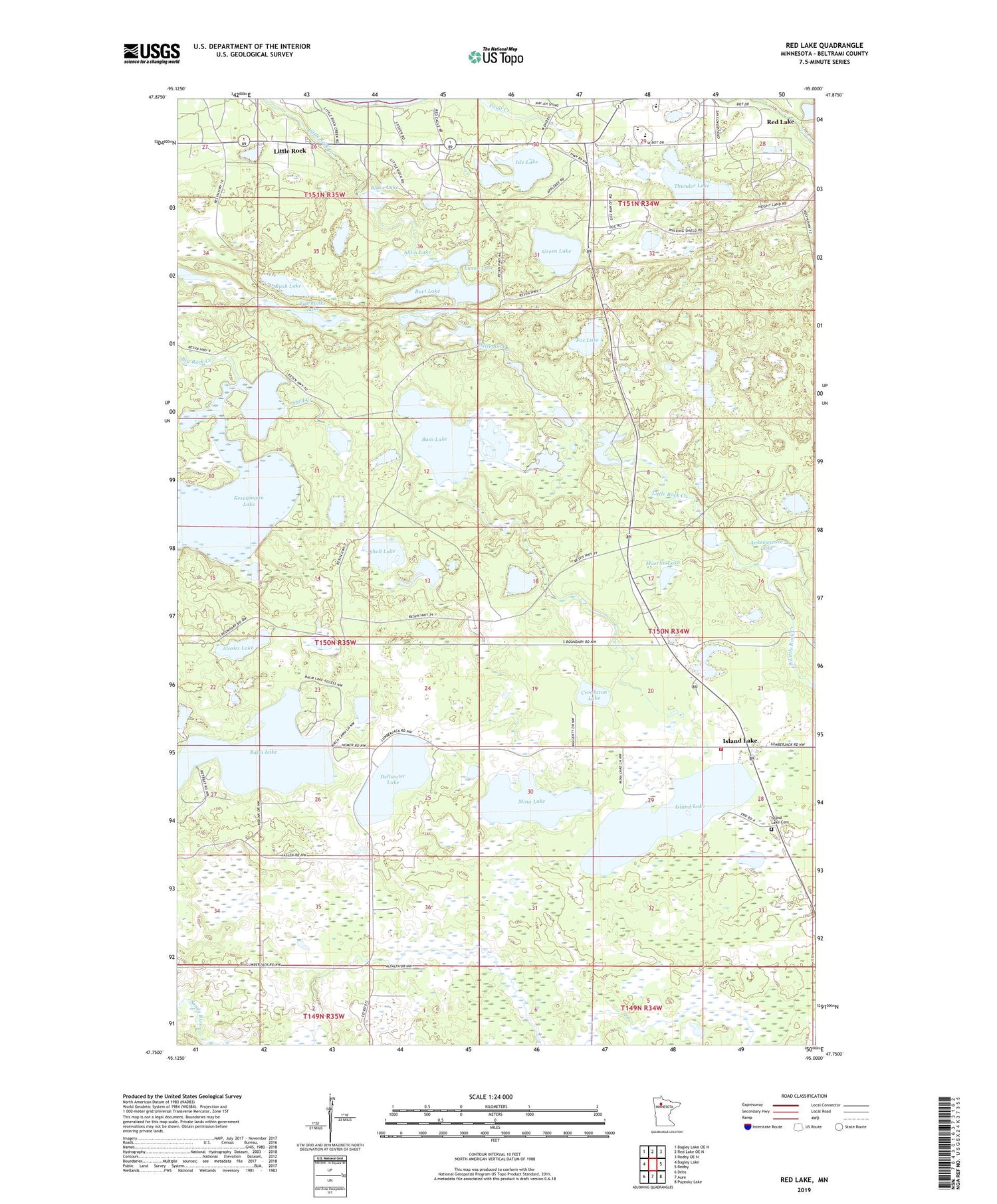
2019 topographic map quadrangle Red Lake in the state of Minnesota. Scale: 1:24000. Based on the newly updated USGS 7.5' US Topo map series, this map is in the following counties: Beltrami. The map contains contour data, water features, and other items you are used to seeing on USGS maps, but also has updated roads and other features. This is the next generation of topographic maps. Printed on high-quality waterproof paper with UV fade-resistant inks.
Quads adjacent to this one:
West: Bagley Lake
Northwest: Bagley Lake OE N
North: Red Lake OE N
Northeast: Redby OE N
East: Redby
Southeast: Puposky Lake
South: Aure
Southwest: Debs
Contains the following named places: Ahlin Lake, Alaska Lake, Alaska Volunteer Fire Department, Ankeewinsee Lake, Balm Lake, Bass Lake, Blake Lake, Burt Lake, Crookston Lake, Debs Chapel, Dellwater Lake, Fairbanks Lake, Fox Lake, Green Lake, Island Lake, Island Lake Cemetery, Island Lake Post Office, Island Lake Station, Isle Lake, Kesagiagan Lake, Laxon Lake, Little Rock, Little Rock Census Designated Place, Mina Lake, Muerlin Lake, Red Lake Census Designated Place, Red Lake District, Rush Lake, Sandy Lake, Shell Creek, Shell Lake, Thunder Lake, Township of Alaska


