MyTopo
Redby OE N Minnesota US Topo Map
Couldn't load pickup availability
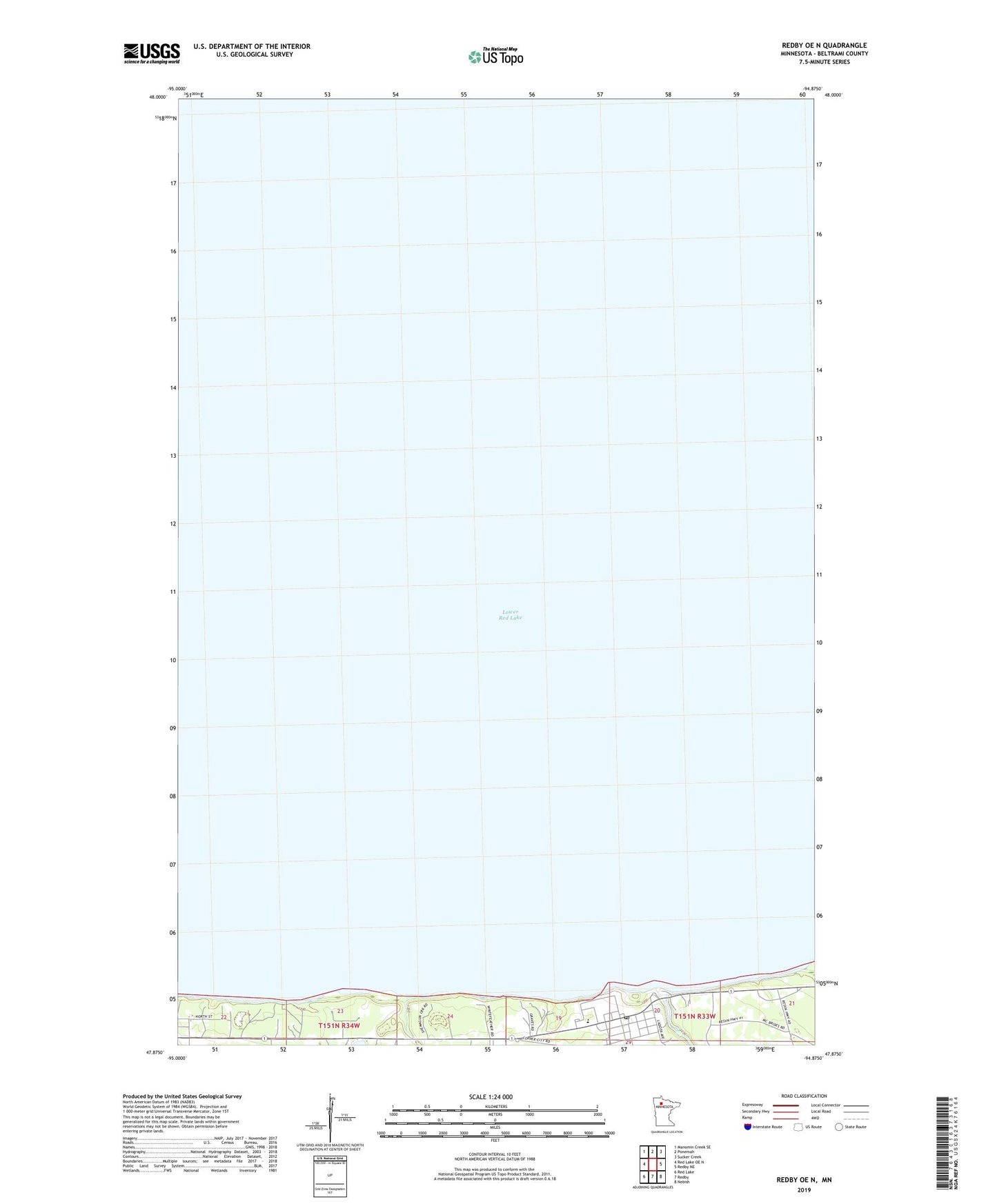
2022 topographic map quadrangle Redby OE N in the state of Minnesota. Scale: 1:24000. Based on the newly updated USGS 7.5' US Topo map series, this map is in the following counties: Beltrami. The map contains contour data, water features, and other items you are used to seeing on USGS maps, but also has updated roads and other features. This is the next generation of topographic maps. Printed on high-quality waterproof paper with UV fade-resistant inks.
Quads adjacent to this one:
West: Red Lake OE N
Northwest: Manomin Creek SE
North: Ponemah
Northeast: Sucker Creek
East: Redby NE
Southeast: Nebish
South: Redby
Southwest: Red Lake
Contains the following named places: Beltrami County, Mud River, Mud River Dam, Mud River Reservoir, Red Lake Tribal Fish Hatchery, Redby, Redby Community Church, Redby Post Office, Saint Antipas Episcopal Church, Unorganized Territory of Lower Red Lake