MyTopo
Roseau NE Minnesota US Topo Map
Couldn't load pickup availability
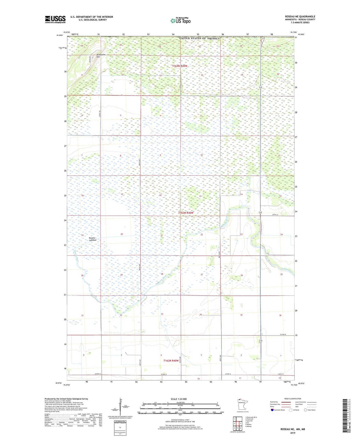
2022 topographic map quadrangle Roseau NE in the state of Minnesota. Scale: 1:24000. Based on the newly updated USGS 7.5' US Topo map series, this map is in the following counties: Roseau. The map contains contour data, water features, and other items you are used to seeing on USGS maps, but also has updated roads and other features. This is the next generation of topographic maps. Printed on high-quality waterproof paper with UV fade-resistant inks.
Quads adjacent to this one:
West: Pinecreek
Northwest: Pinecreek OE N
East: Salol NW
Southeast: Malung
South: Roseau
Southwest: Fox
This map covers the same area as the classic USGS quad with code o48095h7.
Contains the following named places: Minnesota Hill, Roseau Lakebed, Sprague Creek, United States Customs and Border Protection - Port of Entry - Roseau