MyTopo
Round Lake Minnesota US Topo Map
Couldn't load pickup availability
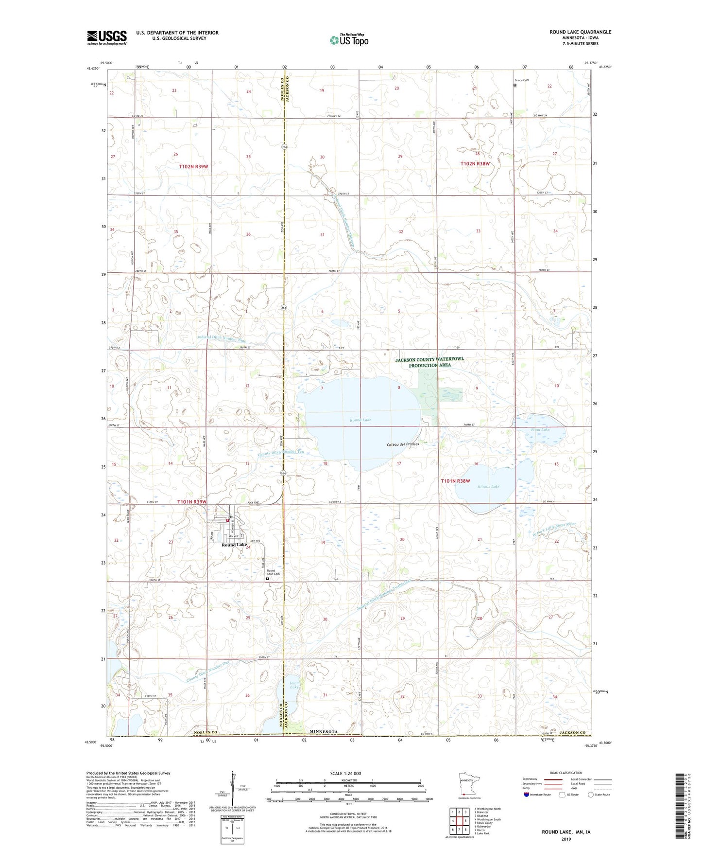
2019 topographic map quadrangle Round Lake in the state of Minnesota. Scale: 1:24000. Based on the newly updated USGS 7.5' US Topo map series, this map is in the following counties: Jackson, Nobles, Osceola, Dickinson. The map contains contour data, water features, and other items you are used to seeing on USGS maps, but also has updated roads and other features. This is the next generation of topographic maps. Printed on high-quality waterproof paper with UV fade-resistant inks.
Quads adjacent to this one:
West: Worthington South
Northwest: Worthington North
North: Brewster
Northeast: Okabena
East: Sioux Valley
Southeast: Lake Park
South: Harris
Southwest: Ocheyedan
Contains the following named places: City of Round Lake, County Ditch Number One, County Ditch Number Ten, Eastside Acres Campground, Grace Cemetery, Grace Church, Illinois Lake, Iowa Lake, Judicial Ditch Number Nine, Judicial Ditch Number Thirteen, Judicial Ditch Number Twentyfour, KLES-FM (Worthington), Plum Lake, Round Lake, Round Lake Cemetery, Round Lake City Hall, Round Lake Fire Department, Round Lake Post Office, Round Lake Presbyterian Church, Round Lake Secondary School, Township of Round Lake, ZIP Code: 56167