MyTopo
Royalton Minnesota US Topo Map
Couldn't load pickup availability
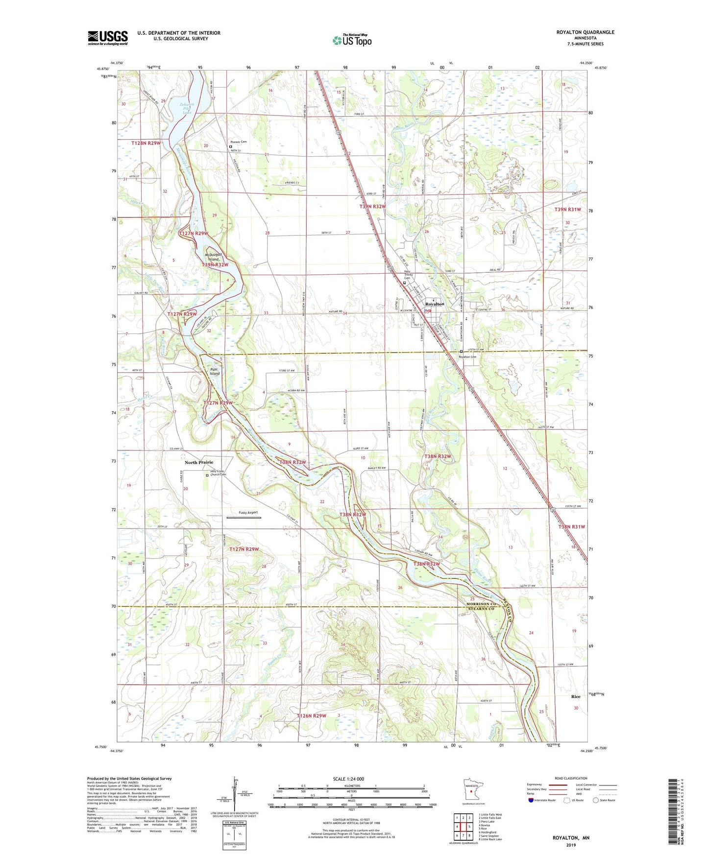
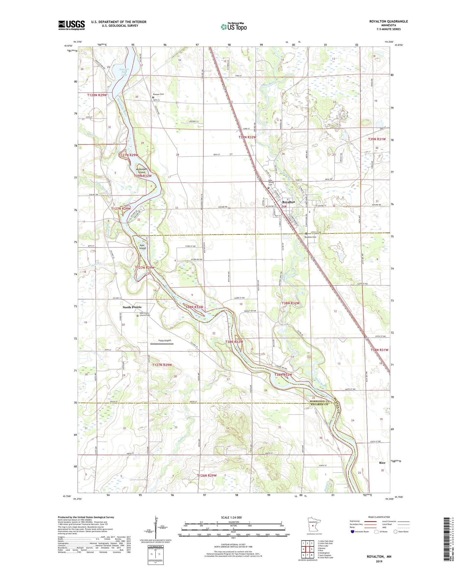
2019 topographic map quadrangle Royalton in the state of Minnesota. Scale: 1:24000. Based on the newly updated USGS 7.5' US Topo map series, this map is in the following counties: Morrison, Benton, Stearns. The map contains contour data, water features, and other items you are used to seeing on USGS maps, but also has updated roads and other features. This is the next generation of topographic maps. Printed on high-quality waterproof paper with UV fade-resistant inks.
Quads adjacent to this one:
West: Bowlus
Northwest: Little Falls West
North: Little Falls East
Northeast: Pierz Lake
East: Rice
Southeast: Little Rock Lake
South: Saint Stephen
Southwest: Holdingford
Contains the following named places: Blanchard Dam, City of Royalton, Fussy Airport, Hay Creek, Hazel Creek, Holy Cross Church, Holy Cross Church Cemetery, Holy Trinity Cemetery, Holy Trinity Church, Little Two River, McDougall Island, North Prairie, North Prairie Post Office, Pasch Island, Pioneer Cemetery, Platte River, Royalton, Royalton Cemetery, Royalton Elementary School, Royalton Fire and Rescue Department, Royalton High School, Royalton Police Department, Royalton Post Office, Royalton Public Library, Saint Paul's Lutheran Church, Spunk Creek, Township of Bellevue, Two River, Two Rivers Park, Two Rivers Park Campground