
MyTopo
Sebeka NW Minnesota US Topo Map
Couldn't load pickup availability
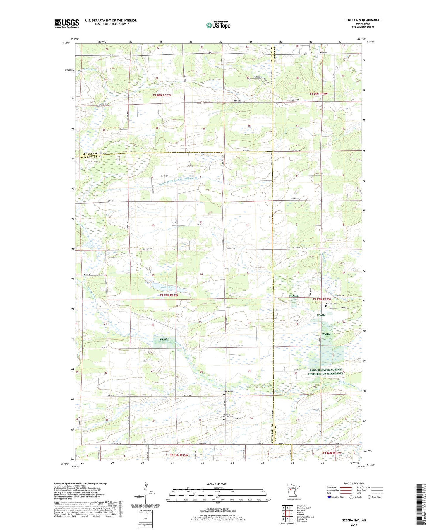
2019 topographic map quadrangle Sebeka NW in the state of Minnesota. Scale: 1:24000. Based on the newly updated USGS 7.5' US Topo map series, this map is in the following counties: Otter Tail, Wadena, Becker. The map contains contour data, water features, and other items you are used to seeing on USGS maps, but also has updated roads and other features. This is the next generation of topographic maps. Printed on high-quality waterproof paper with UV fade-resistant inks.
Quads adjacent to this one:
West: Butler
Northwest: Wolf Lake
North: Park Rapids SW
Northeast: Menahga
East: Sebeka
Southeast: Blue Grass
South: Sebeka SW
Southwest: New York Mills East
Contains the following named places: Bethania Lutheran Cemetery, Bethel Church, Cat Creek, County Ditch Number Twentyseven, Grace Cemetery, Mud Lake, Red Eye Cemetery, Runeberg Church, Township of Paddock, White Oak School


