MyTopo
Blue Grass Minnesota US Topo Map
Couldn't load pickup availability
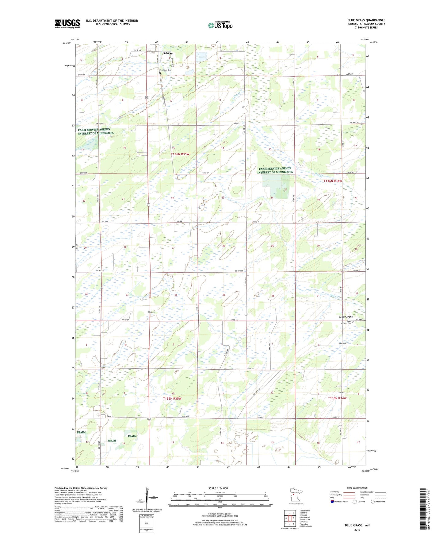
2022 topographic map quadrangle Blue Grass in the state of Minnesota. Scale: 1:24000. Based on the newly updated USGS 7.5' US Topo map series, this map is in the following counties: Wadena. The map contains contour data, water features, and other items you are used to seeing on USGS maps, but also has updated roads and other features. This is the next generation of topographic maps. Printed on high-quality waterproof paper with UV fade-resistant inks.
Quads adjacent to this one:
West: Sebeka SW
Northwest: Sebeka NW
North: Sebeka
Northeast: Nimrod
East: Nimrod SW
Southeast: Aldrich North
South: Verndale
Southwest: Wadena
This map covers the same area as the classic USGS quad with code o46095e1.
Contains the following named places: Bell Hill Recovery Center, Blue Grass, Carman Berry Farm, Greenhill Cemetery, Leaf River Church, Saint Huberts Cemetery, School Number 2441, Township of Rockwood, Wadena Air Force Station, Zion Church