MyTopo
Thor SE Minnesota US Topo Map
Couldn't load pickup availability
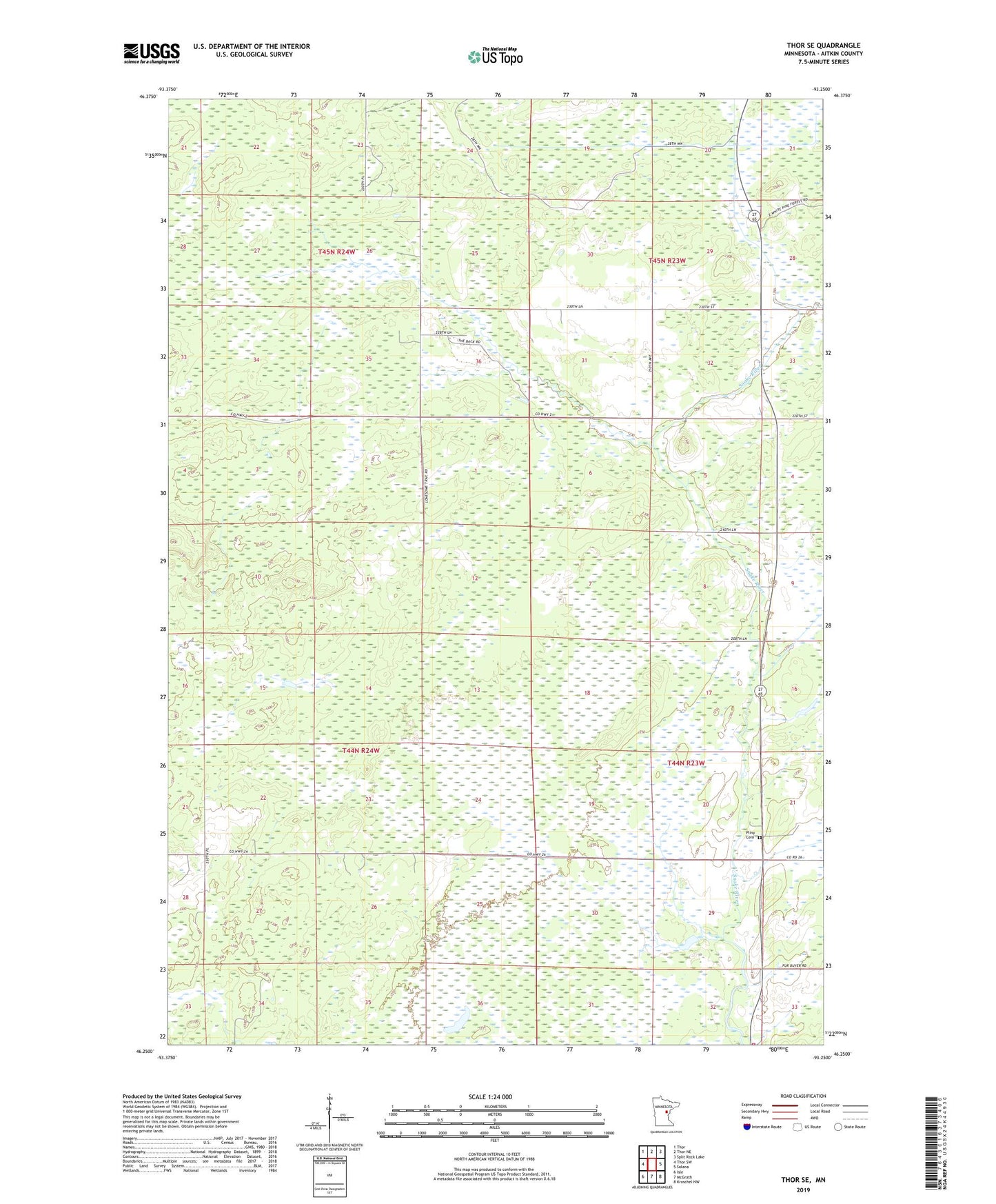
2019 topographic map quadrangle Thor SE in the state of Minnesota. Scale: 1:24000. Based on the newly updated USGS 7.5' US Topo map series, this map is in the following counties: Aitkin. The map contains contour data, water features, and other items you are used to seeing on USGS maps, but also has updated roads and other features. This is the next generation of topographic maps. Printed on high-quality waterproof paper with UV fade-resistant inks.
Quads adjacent to this one:
West: Thor SW
Northwest: Thor
North: Thor NE
Northeast: Split Rock Lake
East: Solana
Southeast: Kroschel NW
South: McGrath
Southwest: Isle
Contains the following named places: Calvary Church, Dads Corner, East White Pine Truck Trail, Minnesota Department of Natural Resources McGrath Field Station, Pliny Cemetery, Township of Seavey, Tronnes Post Office, Twentyone Lake