MyTopo
Solana Minnesota US Topo Map
Couldn't load pickup availability
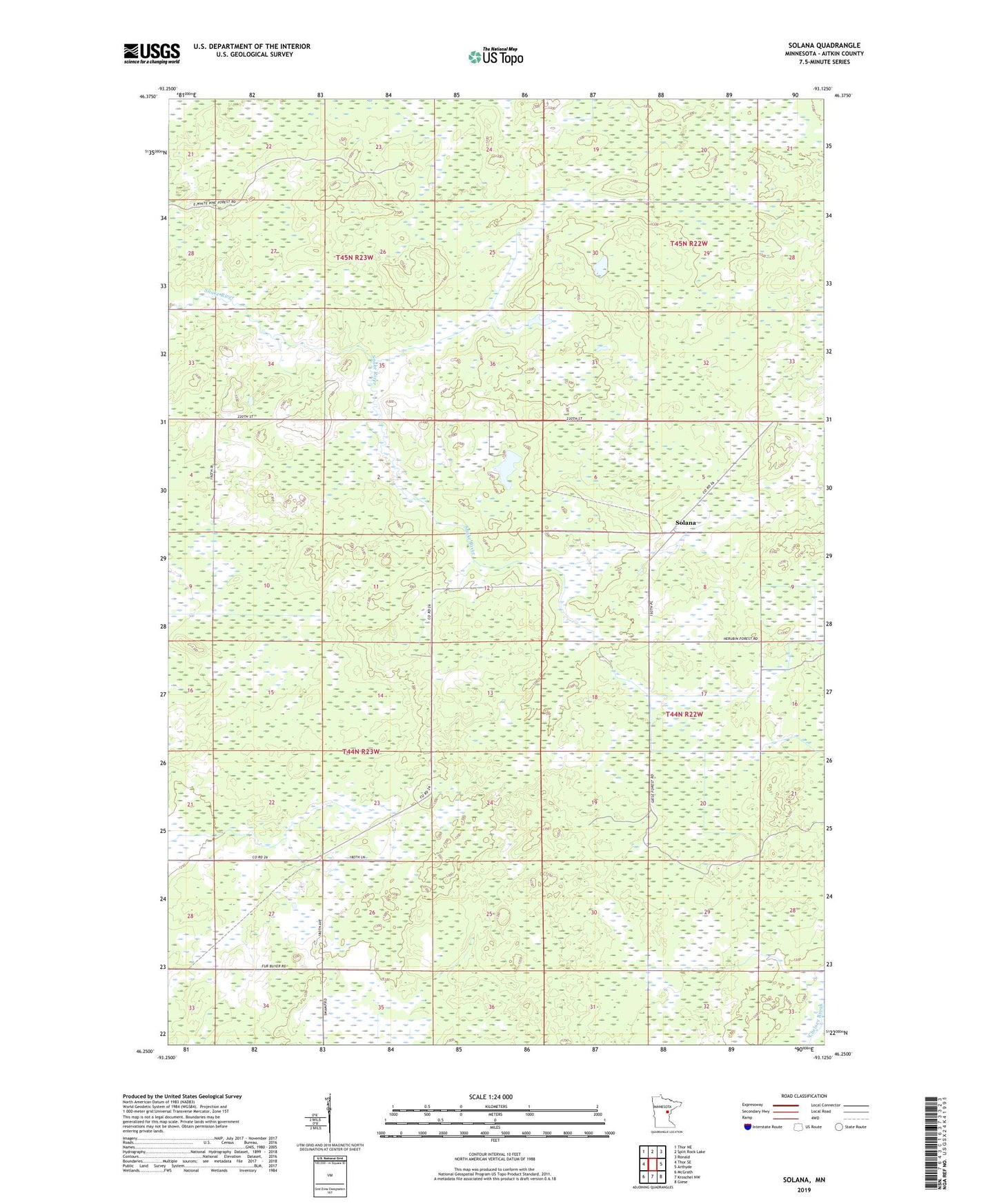
2022 topographic map quadrangle Solana in the state of Minnesota. Scale: 1:24000. Based on the newly updated USGS 7.5' US Topo map series, this map is in the following counties: Aitkin. The map contains contour data, water features, and other items you are used to seeing on USGS maps, but also has updated roads and other features. This is the next generation of topographic maps. Printed on high-quality waterproof paper with UV fade-resistant inks.
Quads adjacent to this one:
West: Thor SE
Northwest: Thor NE
North: Split Rock Lake
Northeast: Ronald
East: Arthyde
Southeast: Giese
South: Kroschel NW
Southwest: McGrath
This map covers the same area as the classic USGS quad with code o46093c2.
Contains the following named places: Giese Truck Trail, Herubin Truck Trail, Pliny Post Office, Solana, Solana Post Office, Solana State Forest, Township of Pliny, White Pine Lookout Tower, Whitepine, Whitepine Post Office, ZIP Code: 56350