MyTopo
Two Harbors NE Minnesota US Topo Map
Couldn't load pickup availability
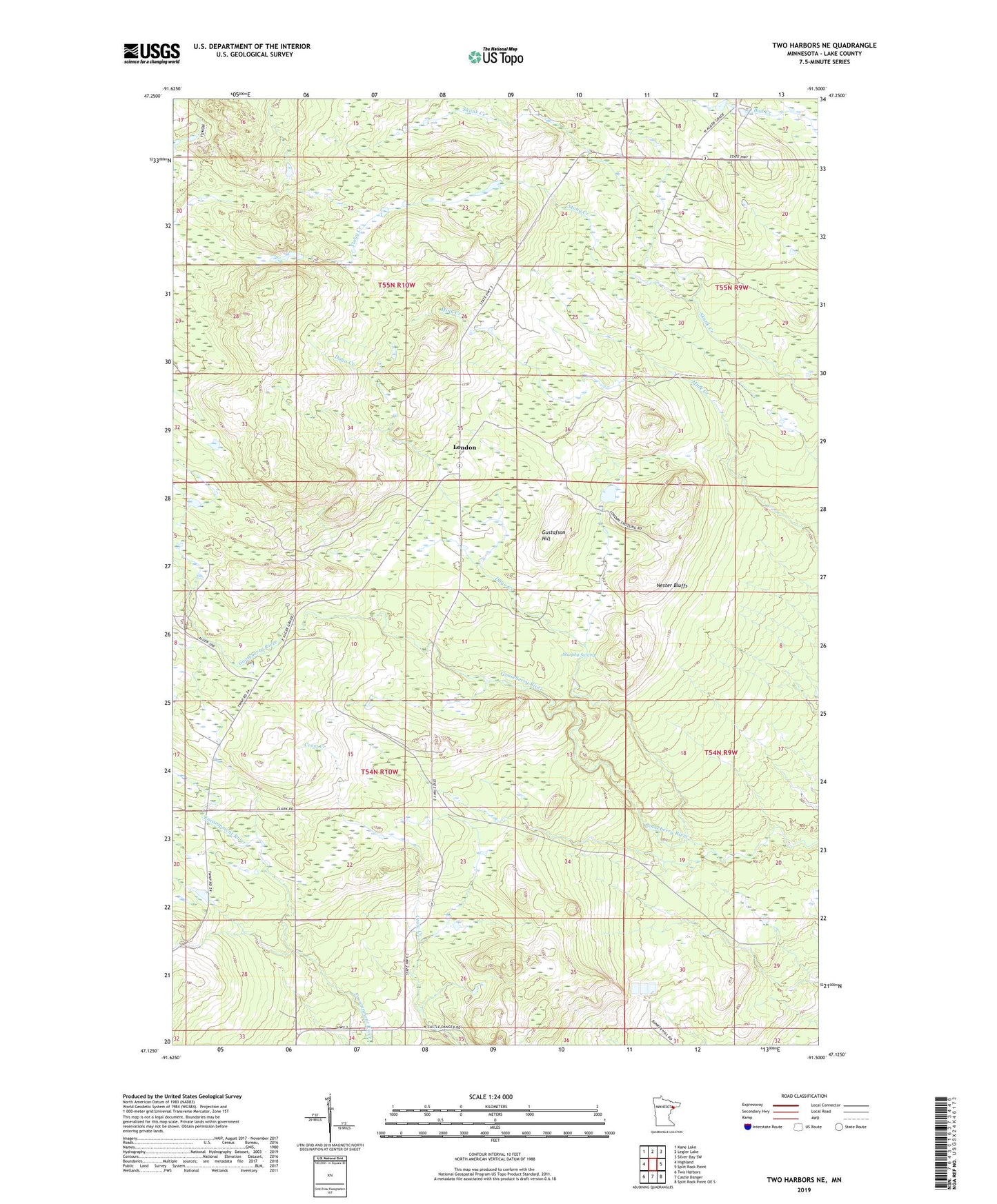
2022 topographic map quadrangle Two Harbors NE in the state of Minnesota. Scale: 1:24000. Based on the newly updated USGS 7.5' US Topo map series, this map is in the following counties: Lake. The map contains contour data, water features, and other items you are used to seeing on USGS maps, but also has updated roads and other features. This is the next generation of topographic maps. Printed on high-quality waterproof paper with UV fade-resistant inks.
Quads adjacent to this one:
West: Highland
Northwest: Kane Lake
North: Legler Lake
Northeast: Silver Bay SW
East: Split Rock Point
Southeast: Split Rock Point OE S
South: Castle Danger
Southwest: Two Harbors
This map covers the same area as the classic USGS quad with code o47091b5.
Contains the following named places: Beaver Crossing, Bud Hill Lookout Tower, Dago Creek, Gustafson Hill, London, Murphy Swamp, Nester Bluffs, Stony Creek