
MyTopo
Typo Lake Minnesota US Topo Map
Couldn't load pickup availability
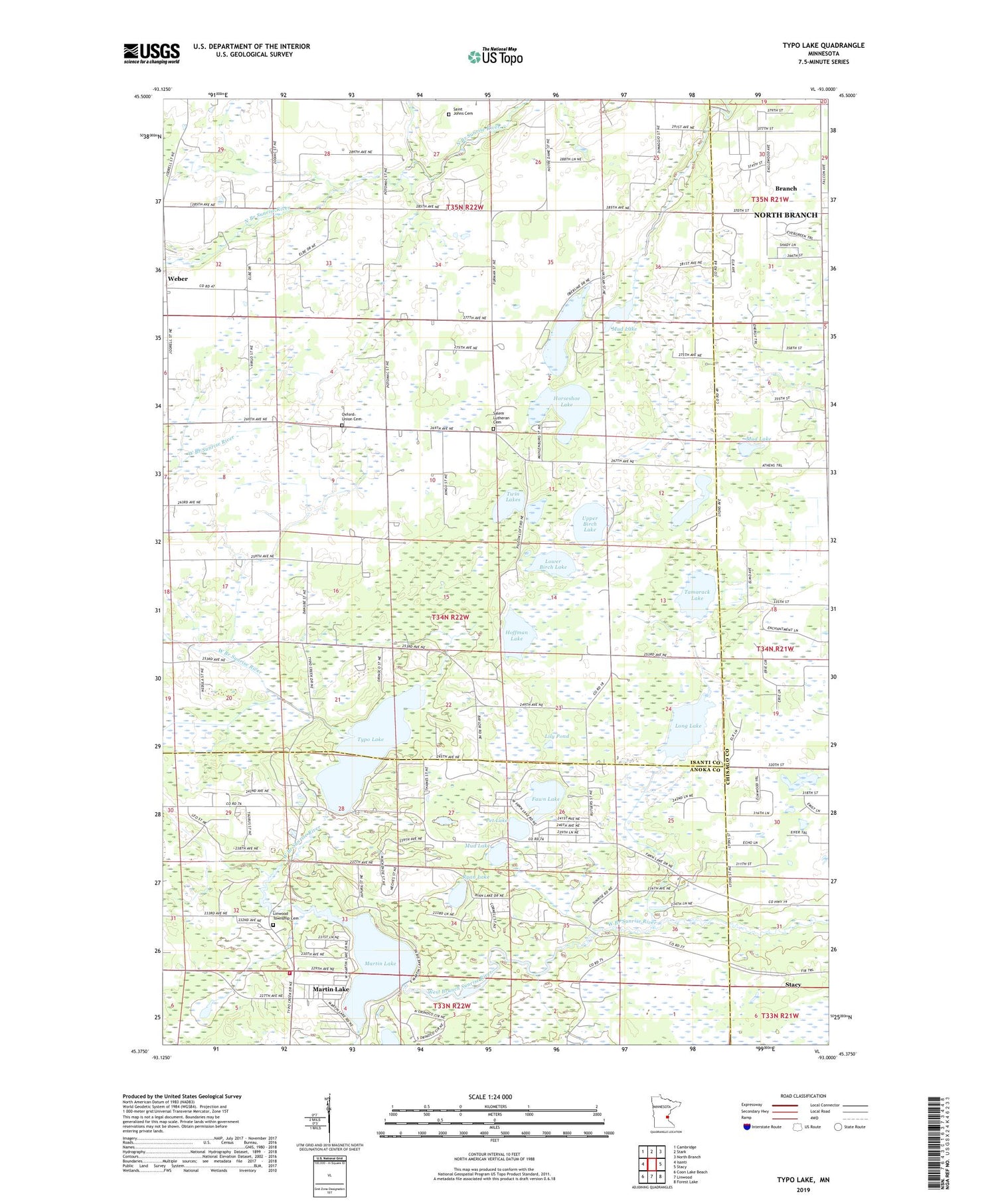
2019 topographic map quadrangle Typo Lake in the state of Minnesota. Scale: 1:24000. Based on the newly updated USGS 7.5' US Topo map series, this map is in the following counties: Isanti, Anoka, Chisago. The map contains contour data, water features, and other items you are used to seeing on USGS maps, but also has updated roads and other features. This is the next generation of topographic maps. Printed on high-quality waterproof paper with UV fade-resistant inks.
Quads adjacent to this one:
West: Isanti
Northwest: Cambridge
North: Stark
Northeast: North Branch
East: Stacy
Southeast: Forest Lake
South: Linwood
Southwest: Coon Lake Beach
Contains the following named places: Country Roads Church, Fawn Lake, Hoffman Lake, Horseleg Lake, Horseshoe Lake, Hurley Lake, Judicial Ditch Number Two, Lily Pond, Linwood Fire Department, Linwood Township Cemetery, Long Lake, Lower Birch Lake, Martin Lake, Martin Lake Census Designated Place, Mud Lake, Oxford Union Cemetery, Pet Lake, Ryan Lake, Saint Johns Lutheran Cemetery, Salem Church, Salem Lutheran Cemetery, Sunnyside Free Lutheran Church, Tamarack Lake, Township of Oxford, Twin Lakes, Typo Lake, Upper Birch Lake, Weber, Weber Post Office, ZIP Code: 55079


