
MyTopo
Wood Lake NW Minnesota US Topo Map
Couldn't load pickup availability
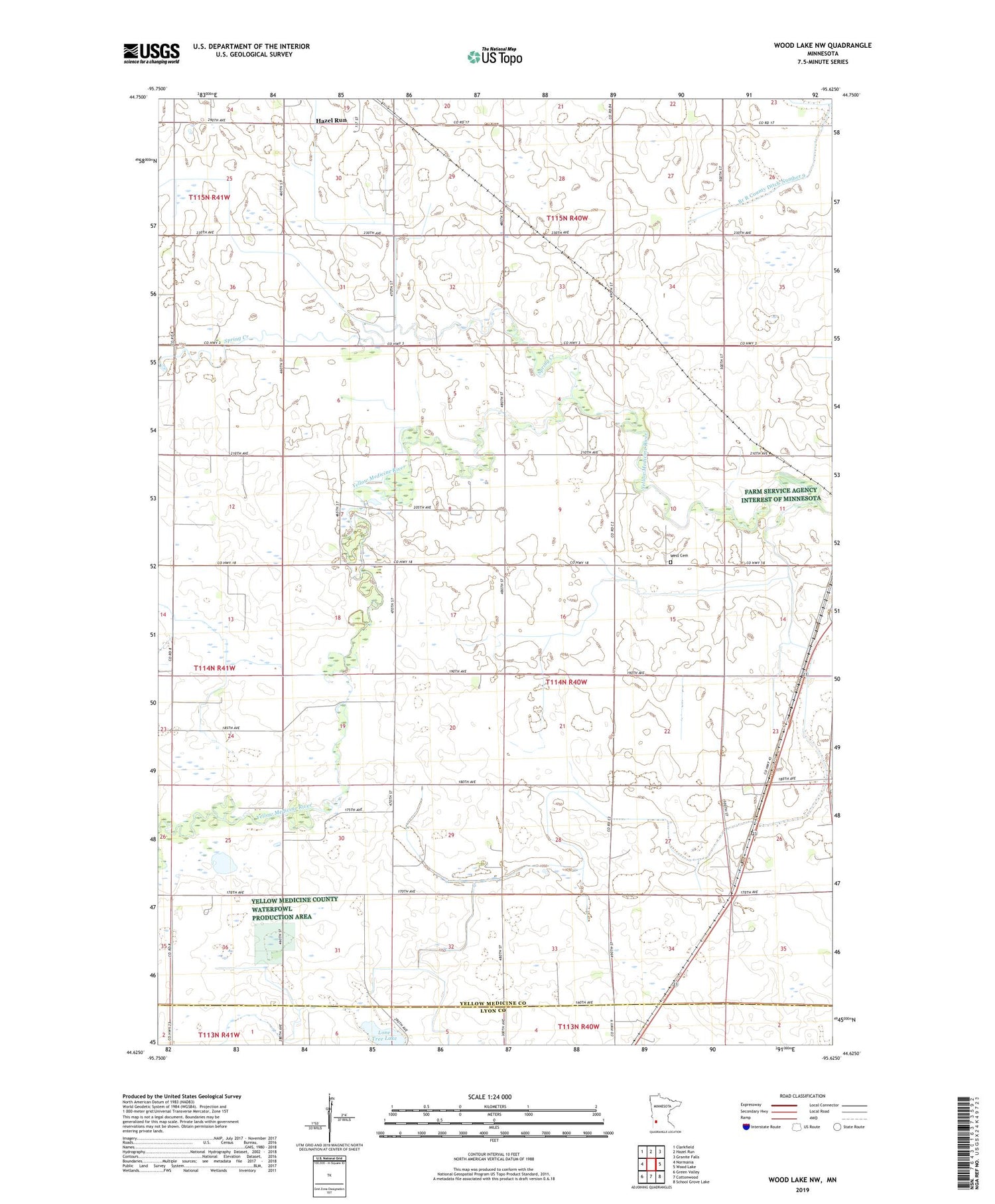
2019 topographic map quadrangle Wood Lake NW in the state of Minnesota. Scale: 1:24000. Based on the newly updated USGS 7.5' US Topo map series, this map is in the following counties: Yellow Medicine, Lyon. The map contains contour data, water features, and other items you are used to seeing on USGS maps, but also has updated roads and other features. This is the next generation of topographic maps. Printed on high-quality waterproof paper with UV fade-resistant inks.
Quads adjacent to this one:
West: Normania
Northwest: Clarkfield
North: Hazel Run
Northeast: Granite Falls
East: Wood Lake
Southeast: School Grove Lake
South: Cottonwood
Southwest: Green Valley
Contains the following named places: Branch R County Ditch Number 9, City of Hazel Run, County Ditch Number Fortyfour, County Ditch Number Thirtyseven, County Ditch Number Three, Judicial Ditch Number Eighteen, Judicial Ditch Number Seventeen, Judicial Ditch Number Twentyfour, Lone Tree Lake, Spring Creek, Township of Sandnes, West Cemetery, ZIP Code: 56245


