MyTopo
Worthington North Minnesota US Topo Map
Couldn't load pickup availability
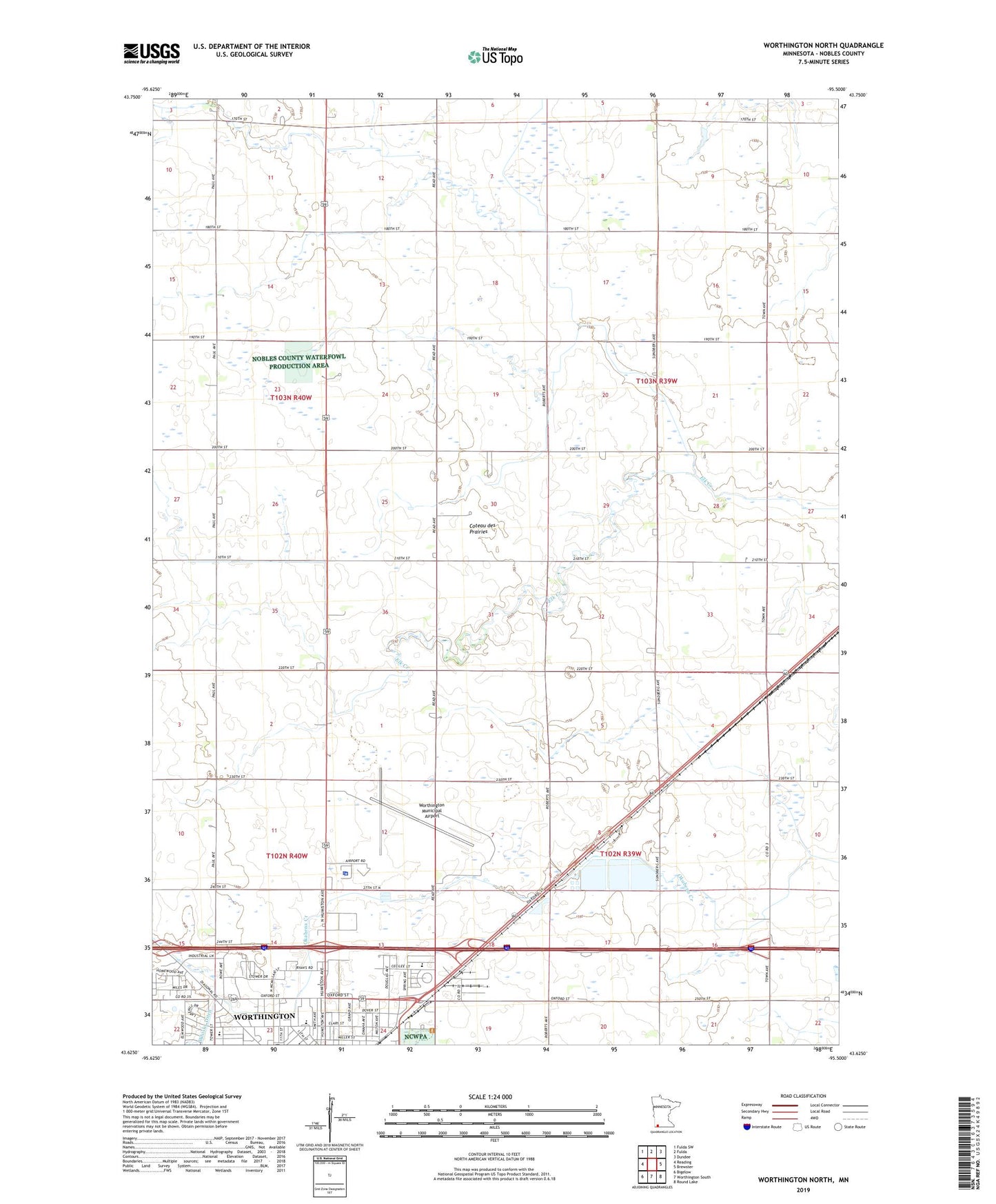
2019 topographic map quadrangle Worthington North in the state of Minnesota. Scale: 1:24000. Based on the newly updated USGS 7.5' US Topo map series, this map is in the following counties: Nobles. The map contains contour data, water features, and other items you are used to seeing on USGS maps, but also has updated roads and other features. This is the next generation of topographic maps. Printed on high-quality waterproof paper with UV fade-resistant inks.
Quads adjacent to this one:
West: Reading
Northwest: Fulda SW
North: Fulda
Northeast: Dundee
East: Brewster
Southeast: Round Lake
South: Worthington South
Southwest: Bigelow
Contains the following named places: American Lutheran Church, American Reformed Church, Assemblies of God Church, Bristol Park, Calvary Independent Baptist Church, Castlewood Knolls Park, Christian School, Church of Christ, City of Worthington, Crossroads Care Center, Full Gospel Church, Intercity Park, Judicial Ditch Number Eight, Kelly Park, Kingdom Hall of Jehovah's Witnesses, Millard Walker Park, Nobles County Fairgrounds, Nobles County Jail, Orthopedic Institute, Pioneer Village, Saint Matthews Lutheran Church, Sungold Heights Mobile Home Park, Township of Hersey, Township of Lorain, United Pentecostal Church, Vets Park, Watland Park, West School, Westminster Presbyterian Church, Whisky Ditch, Worthington Baptist Temple, Worthington Christian School, Worthington Country Club, Worthington High School, Worthington Municipal Airport, Worthington Police Department, Worthington Speedway