MyTopo
Bogue Chitto Mississippi US Topo Map
Couldn't load pickup availability
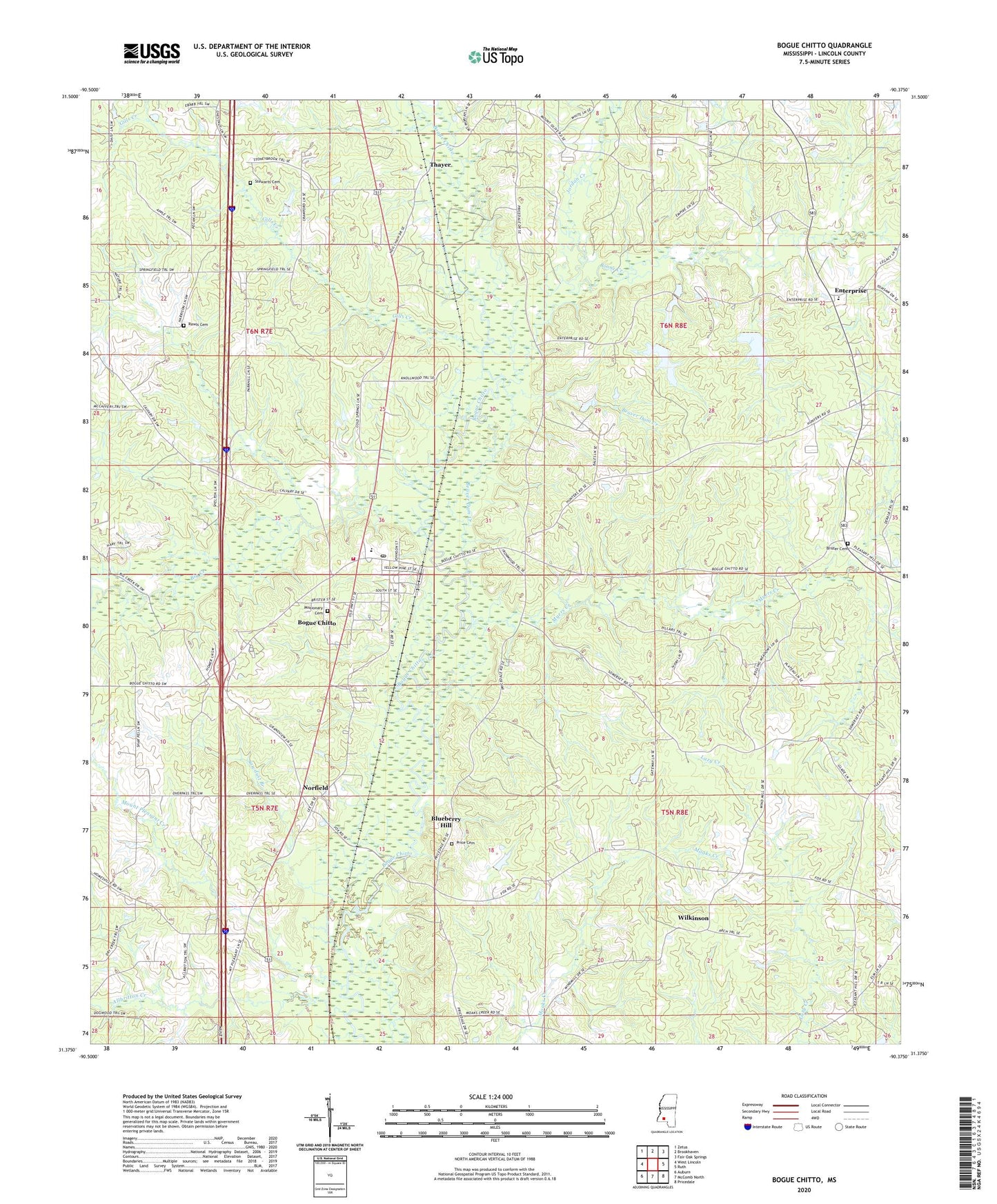
2020 topographic map quadrangle Bogue Chitto in the state of Mississippi. Scale: 1:24000. Based on the newly updated USGS 7.5' US Topo map series, this map is in the following counties: Lincoln. The map contains contour data, water features, and other items you are used to seeing on USGS maps, but also has updated roads and other features. This is the next generation of topographic maps. Printed on high-quality waterproof paper with UV fade-resistant inks.
Quads adjacent to this one:
West: West Lincoln
Northwest: Zetus
North: Brookhaven
Northeast: Fair Oak Springs
East: Ruth
Southeast: Pricedale
South: McComb North
Southwest: Auburn
Contains the following named places: Allbritton Creek, Beaver Dam Creek, Bethel Church, Big Creek, Big Creek School, Blueberry Hill, Bogue Chitto, Bogue Chitto Attendance Center, Bogue Chitto Baptist Church, Bogue Chitto Census Designated Place, Bogue Chitto Community Fire Department, Bogue Chitto Post Office, Boone Creek, Brister Cemetery, Calvary Church, Cold Springs, Cold Springs Church, Derby, Enterprise, Enterprise School, Gills Creek, Gills School, Harris Rawls Cemetery, Hickory Grove School, Hog Chain, Jordan Creek, Mallalieu Oil Field, Mallalieu Pumping Station, Missionary Cemetery, Moaks Creek Church, Mount Olive Church, Mount Pleasant Church, Mount Pleasant Creek, Myers Creek, New Zion Union Church, Norfield, Oak Ridge School, Pine Grove School, Pleasant Hill Church, Price Cemetery, Sawdust Branch, Springfield Church, Stewarts Cemetery, Supervisor District 3, Thayer, Thayer Church, Wilkinson, ZIP Code: 39629