MyTopo
Byhalia Mississippi US Topo Map
Couldn't load pickup availability
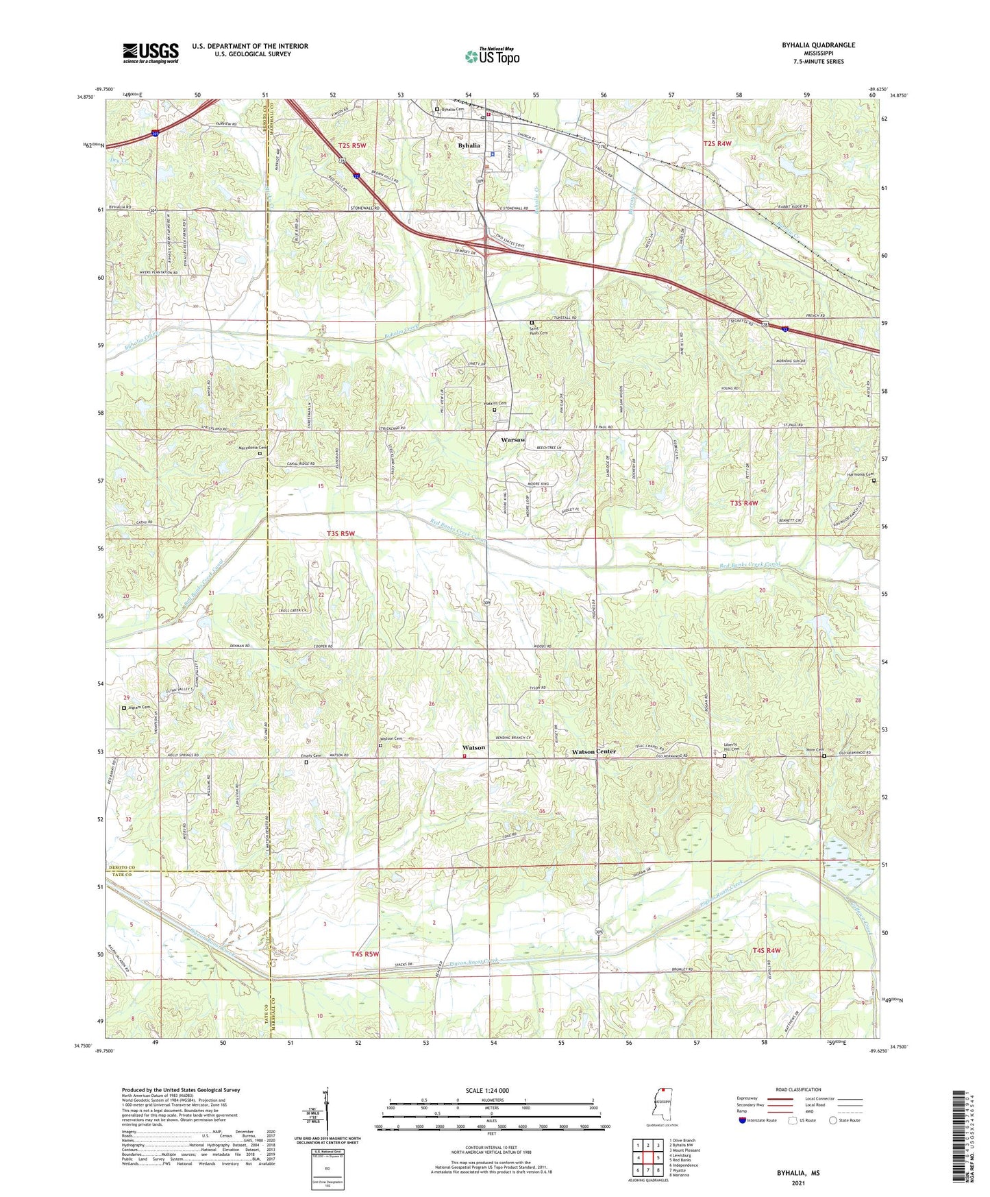
2021 topographic map quadrangle Byhalia in the state of Mississippi. Scale: 1:24000. Based on the newly updated USGS 7.5' US Topo map series, this map is in the following counties: Marshall, DeSoto, Tate. The map contains contour data, water features, and other items you are used to seeing on USGS maps, but also has updated roads and other features. This is the next generation of topographic maps. Printed on high-quality waterproof paper with UV fade-resistant inks.
Quads adjacent to this one:
West: Lewisburg
Northwest: Olive Branch
North: Byhalia NW
Northeast: Mount Pleasant
East: Red Banks
Southeast: Marianna
South: Wyatte
Southwest: Independence
Contains the following named places: Barrow Creek, Buchanan Lake Dam, Byhalia, Byhalia Cemetery, Byhalia Police Department, Byhalia Post Office, Byhalia United Methodist Church, Byhalia Volunteer Fire Department Station 1, Cathey School, Coal Oil Corner, Cuffawa Creek, Emery Cemetery, Emery Church, First Baptist Church, First Presbyterian Church, Harmonia Cemetery, Harmonia Church, Henry School, Horn Cemetery, Horn Church, Ingram Cemetery, Isaac Chapel Church, Issac Chapel School, J P Woods Dam, James O Rich Pond Dam, L A Thompson Pond Dam, Liberty Hill Cemetery, Liberty Hill Church, Macedonia Baptist Church, Macedonia Cemetery, Mount Gilead Church, Saint Pauls Cemetery, Saint Pauls Church, Sticky Creek, Sunnyside School, Town of Byhalia, Utkolb Pond Dam, Walter May Lake Dam, Warsaw, Watkins Cemetery, Watson, Watson Cemetery, Watson Center, Watson Community Chapel, Watson Volunteer Fire Department, ZIP Code: 38611