MyTopo
Cascilla Mississippi US Topo Map
Couldn't load pickup availability
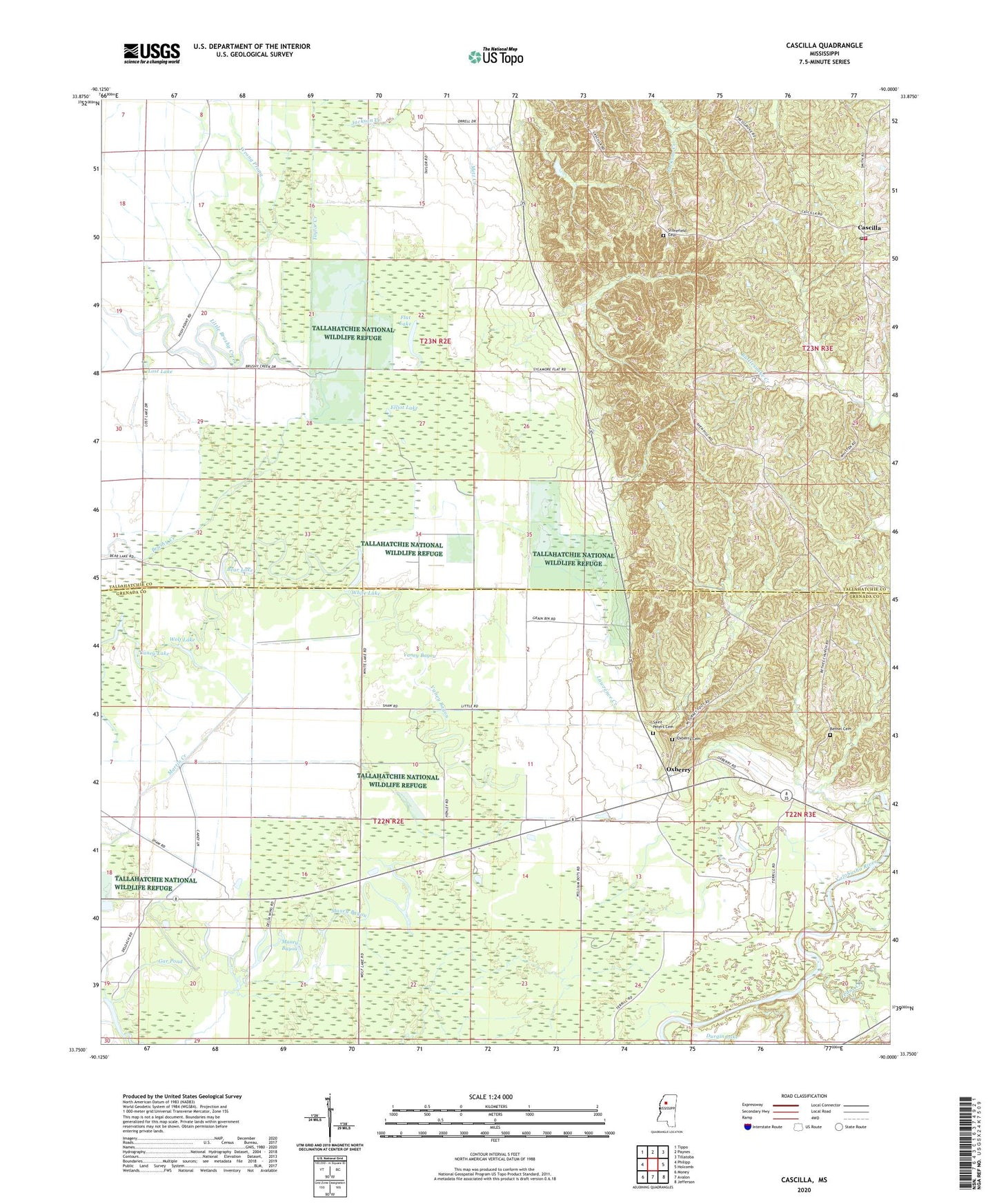
2020 topographic map quadrangle Cascilla in the state of Mississippi. Scale: 1:24000. Based on the newly updated USGS 7.5' US Topo map series, this map is in the following counties: Tallahatchie, Grenada. The map contains contour data, water features, and other items you are used to seeing on USGS maps, but also has updated roads and other features. This is the next generation of topographic maps. Printed on high-quality waterproof paper with UV fade-resistant inks.
Quads adjacent to this one:
West: Philipp
Northwest: Tippo
North: Paynes
Northeast: Tillatoba
East: Holcomb
Southeast: Jefferson
South: Avalon
Southwest: Money
Contains the following named places: Ascalmore Creek Y-17a-75 Dam, Bear Lake, Bethel Cemetery, Bethel Church, Blackhawk Bayou, Blackhawk Pond, Cane Creek, Caney Lake, Cascilla, Cascilla Church, Cascilla Elementary School, Cascilla Post Office, Cascilla Volunteer Fire Department, Chocchuma, Chocchuma Ferry, Elliot Lake, Flat Lake, Gar Pond, Harper Creek, Jackson Creek, Lawrence Creek, Little Brushy Creek, Lost Lake, Maxey Bayou, McClennen Grove Church, Metz Creek, Oxberry, Oxberry Cemetery, Rabbit Bayou, Rosenwald Church, Rosenwald School, Saint Peter Church, Saint Peters Cemetery, Stonefield Cemetery, Stonefield Church, Taylor Creek, Trout Pond, Turkey Foot Fork Church, Vaney Bayou, White Lake, Wolf Lake, Wrong Prong