MyTopo
Jefferson Mississippi US Topo Map
Couldn't load pickup availability
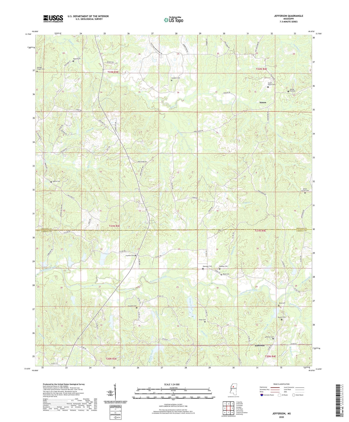
2024 topographic map quadrangle Jefferson in the state of Mississippi. Scale: 1:24000. Based on the newly updated USGS 7.5' US Topo map series, this map is in the following counties: Grenada, Carroll. The map contains contour data, water features, and other items you are used to seeing on USGS maps, but also has updated roads and other features. This is the next generation of topographic maps. Printed on high-quality waterproof paper with UV fade-resistant inks.
Quads adjacent to this one:
West: Avalon
Northwest: Cascilla
North: Holcomb
Northeast: Grenada
East: Tie Plant
Southeast: McCarley
South: North Carrollton
Southwest: Browning
This map covers the same area as the classic USGS quad with code o33089f8.
Contains the following named places: Beard Cemetery, Beck Cemetery, Beckville, Big Spring Church, Big Spring School, Billups Creek, Bledsoe Cemetery, Bunion Cemetery, Bunion Church, Coon Creek, Dubard Branch, Ebenezer Cemetery, Ebenezer Church, Eliot, Emmons Cemetery, Franklin Cemetery, Franklin Church, Franklin School, Goza Branch, Grays Branch, Grays Cemetery, Grays Creek, Greasy Creek, Hillside Church, Hood Chapel, Jefferson, Jefferson Cemetery, Liberty Baptist Church, Loden Creek, Mormon Branch, Mount Carmel Cemetery, Mount Carmel Church, Mount Carmel School, Nason, O'Neal Branch, Potacocowa Creek Watershed Y-31a-26 Dam, Potacocowa Watershed Y-31a-10 Dam, Potacocowa Watershed Y-31a-11 Dam, Potacocowa Watershed Y-31a-15 Dam, Potacocowa Watershed Y-31a-19 Dam, Potacocowa Watershed Y-31a-20 Dam, Potacocowa Watershed Y-31a-3 Dam, Potacocowa Watershed Y-31a-4 Dam, Potacocowa Watershed Y-31a-5 Dam, Potacocowa Watershed Y-31a-6 Dam, Potacocowa Watershed Y-31a-7 Dam, Potacocowa Watershed Y-31a-9 Dam, Prospect Baptist Church, Prospect Cemetery, Prospect School, Purnell Creek, Sanctified Church, Smiths Mill, Sparta Cemetery, Sparta Church, Spring Hill Cemetery, Spring Hill Church, Swange Chapel Cemetery, Sweet Home Cemetery, Sweet Home Church


