MyTopo
Holcomb Mississippi US Topo Map
Couldn't load pickup availability
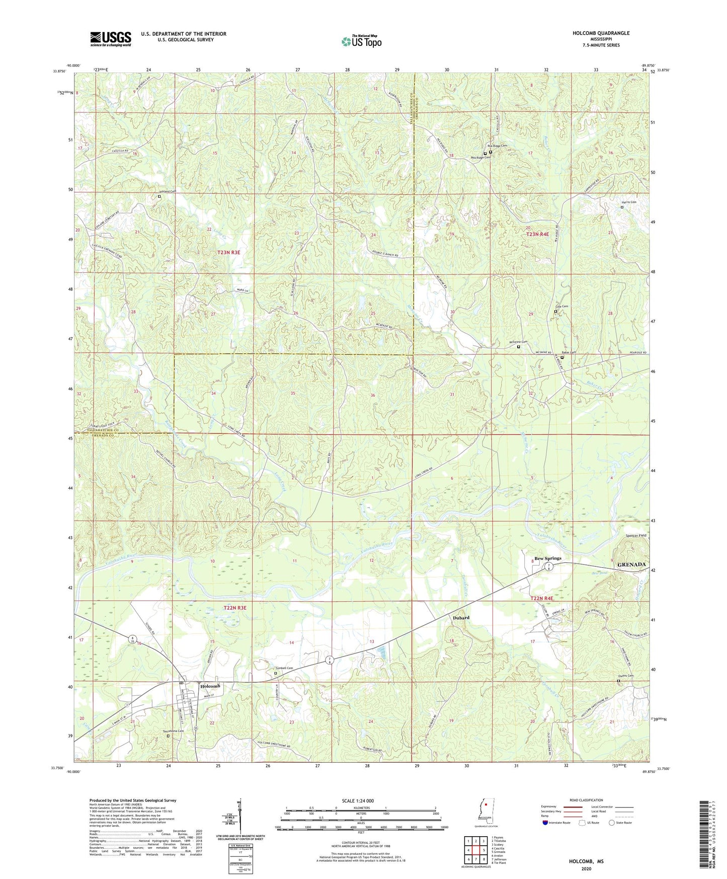
2024 topographic map quadrangle Holcomb in the state of Mississippi. Scale: 1:24000. Based on the newly updated USGS 7.5' US Topo map series, this map is in the following counties: Grenada, Tallahatchie. The map contains contour data, water features, and other items you are used to seeing on USGS maps, but also has updated roads and other features. This is the next generation of topographic maps. Printed on high-quality waterproof paper with UV fade-resistant inks.
Quads adjacent to this one:
West: Cascilla
Northwest: Paynes
North: Tillatoba
Northeast: Scobey
East: Grenada
Southeast: Tie Plant
South: Jefferson
Southwest: Avalon
This map covers the same area as the classic USGS quad with code o33089g8.
Contains the following named places: Ashland Cemetery, Baker Cemetery, Bethel Church, Bew Pond, Bew Springs, Brushy Fork Church, Brushy Fork School, Cascilla School, Cole Cemetery, Cooke Lake Dam, Dubard, Gillon Lake Dam, Griffen Lake Dam, Harris Cemetery, Holcomb, Holcomb Census Designated Place, Holcomb Elementary School, Holcomb Post Office, Horseshoe Lake, Howard Creek, Jackson Chapel, Jackson School, Long Creek, McSwine Cemetery, McSwine Church, McSwine Creek, McSwine School, Moorehead Lake Dam, Owens Cemetery, Pea Ridge Cemetery, Pine Grove Church, Piney Grove School, Pleasant Hill Church Number 1, Pleasant Hill Church Number 2, Pleasant Hill School, Poa Ridge Cemetery, Rattlesnake Creek, Tascohoma Cemetery, Taseohoma Church, Taseohoma School, Trimbell Cemetery, Turnbull Creek, Tuscahoma, Tuscahoma Academy, Tuscahoma Church