MyTopo
Leland Mississippi US Topo Map
Couldn't load pickup availability
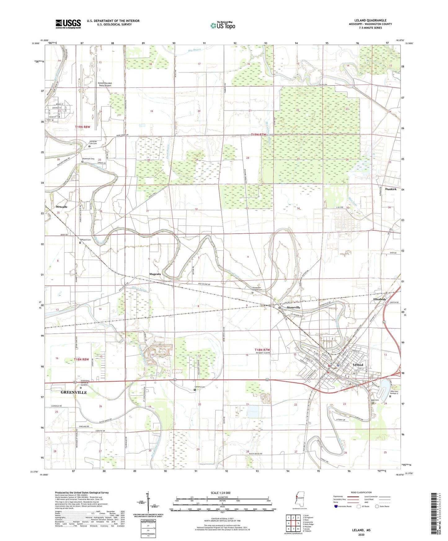
2024 topographic map quadrangle Leland in the state of Mississippi. Scale: 1:24000. Based on the newly updated USGS 7.5' US Topo map series, this map is in the following counties: Washington. The map contains contour data, water features, and other items you are used to seeing on USGS maps, but also has updated roads and other features. This is the next generation of topographic maps. Printed on high-quality waterproof paper with UV fade-resistant inks.
Quads adjacent to this one:
West: Greenville
Northwest: Scott
North: Stringtown
Northeast: Shaw
East: Holly Ridge
Southeast: Tribbett
South: Arcola
Southwest: Wayside
This map covers the same area as the classic USGS quad with code o33090d8.
Contains the following named places: Ashley Crossing, Beulah Grove Baptist Church, Christian Life Cemetery, Church of Christ, City of Leland, Clark Bayou, Cold Springs, Delta Branch Experimental Station Airport, Delta Experimental Forest, Delta Experimental Station Pond Dam, Dry Bayou, Dunkirk, Ebenezer Baptist Church, Elizabeth, Elizabeth Census Designated Place, First Baptist Church, Glendale Church, Greenlawn Memorial Gardens, Greenville Army Air Field, Greenville Mid-Delta Airport, Hammett and Sons Lake Dam, Huntley Airport, Jake Cemetery, Jake Cemetery Number 2, Jerusalem Temple, King Solomon Church, Lake Monocnoc, Lakeview Baptist Church, Lamont Cemetery, Leland, Leland Elementary School, Leland High School, Leland Lagoon Dam, Leland Middle School, Leland Police Department, Leland Post Office, Leland Presbyterian Church, Leland United Methodist Church, Leland Volunteer Fire Department Station 2, Leland Volunteer Fire Department Station 3, Lewis Air Service Airport, Lincoln High School, Magenta, McCuteheon Bayou, Morning Star Church, Mount Ararat Church, Mount Koram Church, Nelia, New Mount Ararat Church, New Zion Baptist Church, Oakland Cemetery, Oakland Crossing, Oakland Plantation, Parkview Baptist Church, Pilgrim Home Baptist Church, Pleasant Point Church, Red Bridge Bayou, Roper Bayou, Rose Hill Church, Saint James African Methodist Episcopal Church, Saint James Catholic Church, Saint Johns Episcopal Mission, Saint Peters Baptist Church, Shady Grove School, Shamrock Cemetery, Shell Lake, Shell Lake Cutoff, Stoneville, Stoneville Census Designated Place, Stoneville Post Office, Stoneville-Leland Cemetery, Tamburo, Tate Airport, WBAD-FM (Leland), WDDT-AM (Greenville), WESY-AM (Leland), ZIP Code: 38760