MyTopo
Wayside Mississippi US Topo Map
Couldn't load pickup availability
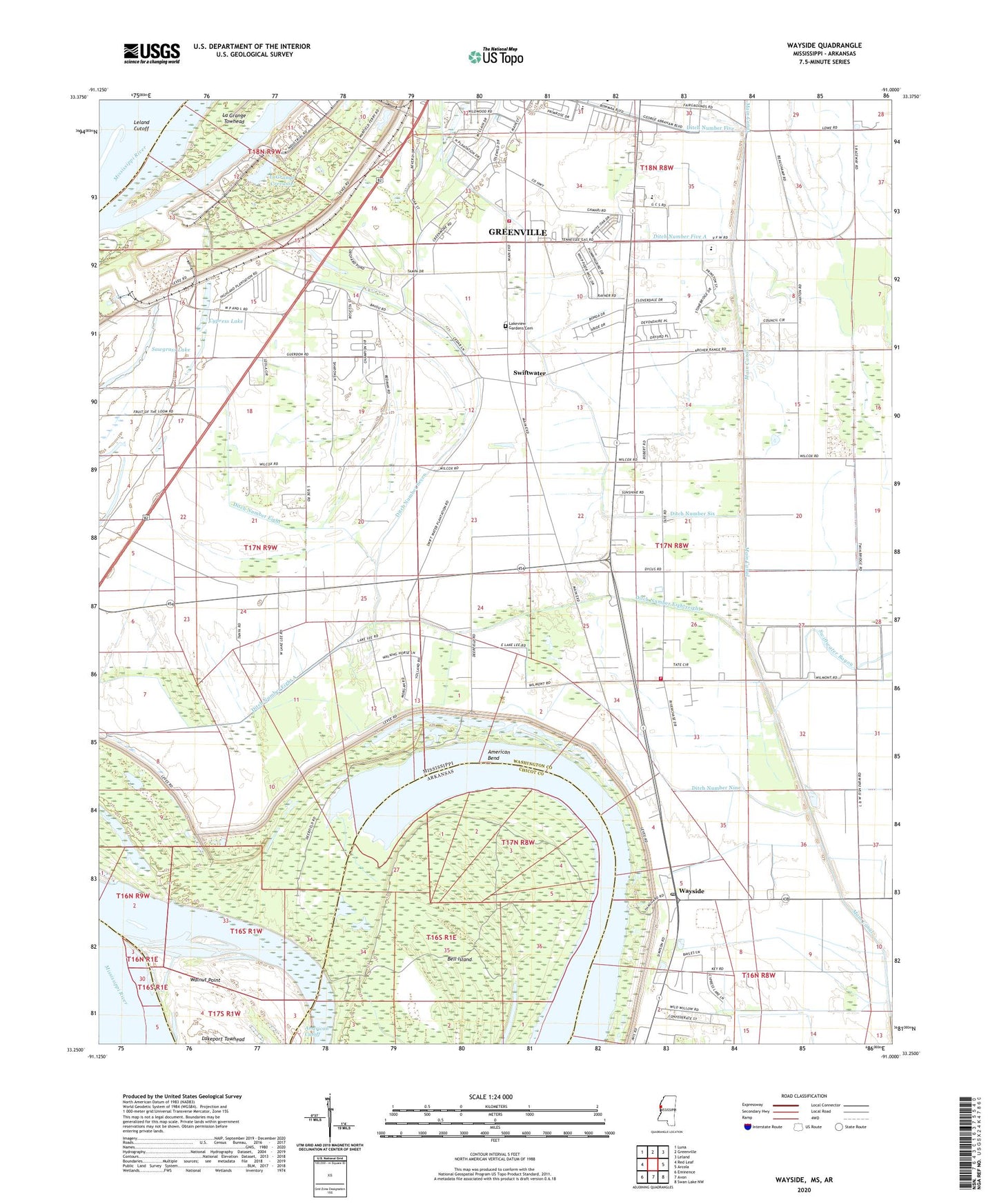
2024 topographic map quadrangle Wayside in the states of Mississippi, Arkansas. Scale: 1:24000. Based on the newly updated USGS 7.5' US Topo map series, this map is in the following counties: Washington, Chicot. The map contains contour data, water features, and other items you are used to seeing on USGS maps, but also has updated roads and other features. This is the next generation of topographic maps. Printed on high-quality waterproof paper with UV fade-resistant inks.
Quads adjacent to this one:
West: Red Leaf
Northwest: Luna
North: Greenville
Northeast: Leland
East: Arcola
Southeast: Swan Lake NW
South: Avon
Southwest: Eminence
This map covers the same area as the classic USGS quad with code o33091c1.
Contains the following named places: Akin School, American Bend, American Cutoff, Antioch Church, Ash Bayou, Bell Island, Bledsoe Lake Dam, Christ Wesleyan Methodist Church, Country Club Airport, Cypress Lake, Ditch Number Eight, Ditch Number Eight A, Ditch Number Eightyeight, Ditch Number Five, Ditch Number Five A, Ditch Number Nine, Ditch Number Seven, Ditch Number Six, Dredge, Elwyn Ward Recreational Center, Faith Baptist Church, Faith Baptist School, Greenville Christian School, Greenville Country Club, Greenville Fire Department Station 8, Greenville Mall Shopping Center, James and Bobby Dycus Pond Dam, L and W Catfish Ponds Dam, La Grange Towhead, LaGrange Crevasse, Lake Lee, Lakeview Gardens Cemetery, Leland Cutoff, Main Canal, Mount Calvary Church, Mount Zion Missionary Baptist Church, Pilgrims Rest Church, Riverside Fire Department, Saint Andrew Church, Sawgrass Lake, Solomon Junior High School, Swiftwater, Swiftwater Church, The Old Evening Star Church, Unity Church, Walnut Grove Church, Walnut Point, Warfield Landing, Warfield Revetment, Wayside, Wayside Post Office, ZIP Code: 38701


