MyTopo
Longtown Mississippi US Topo Map
Couldn't load pickup availability
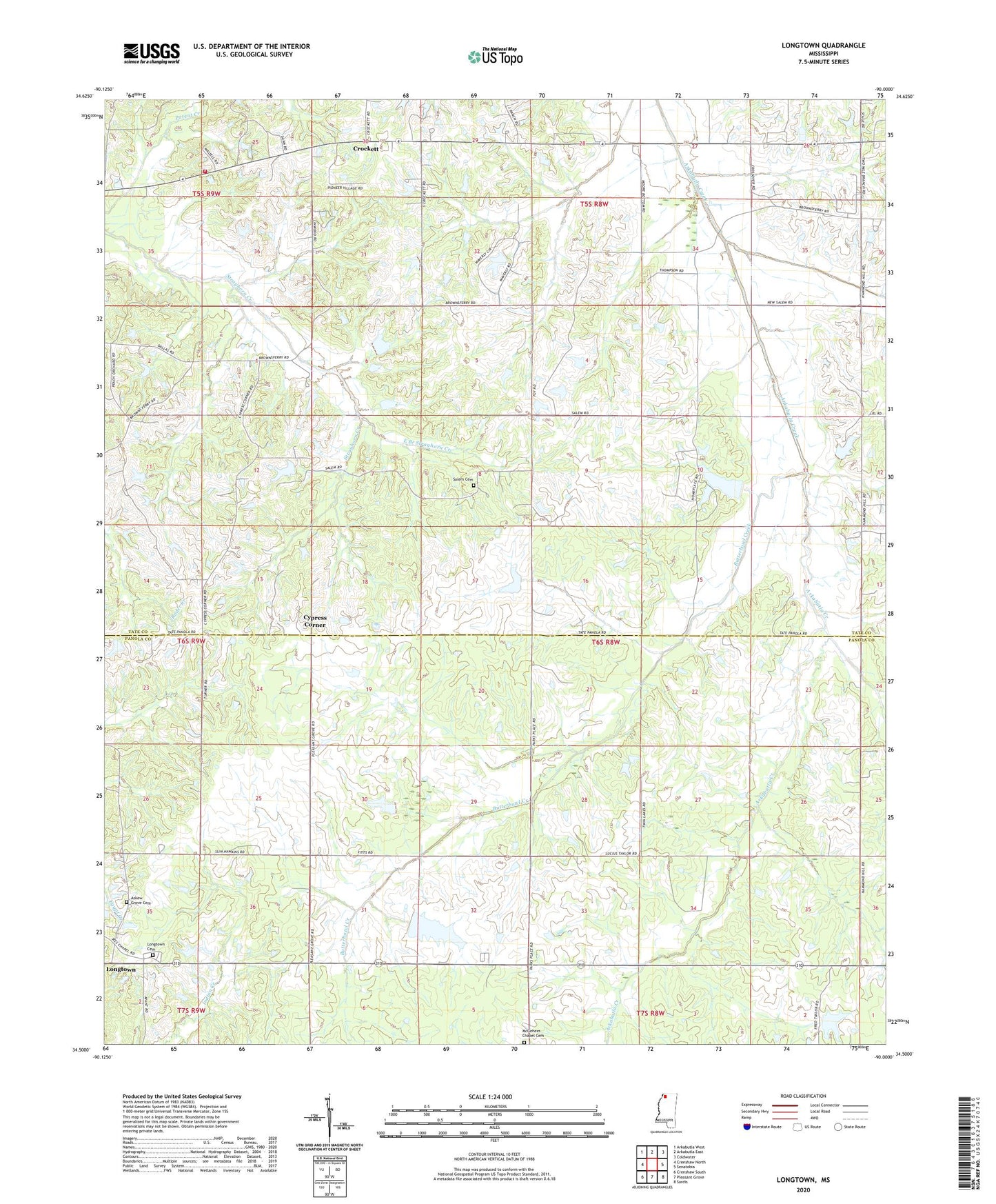
2024 topographic map quadrangle Longtown in the state of Mississippi. Scale: 1:24000. Based on the newly updated USGS 7.5' US Topo map series, this map is in the following counties: Panola, Tate. The map contains contour data, water features, and other items you are used to seeing on USGS maps, but also has updated roads and other features. This is the next generation of topographic maps. Printed on high-quality waterproof paper with UV fade-resistant inks.
Quads adjacent to this one:
West: Crenshaw North
Northwest: Arkabutla West
North: Arkabutla East
Northeast: Coldwater
East: Senatobia
Southeast: Sardis
South: Pleasant Grove
Southwest: Crenshaw South
This map covers the same area as the classic USGS quad with code o34090e1.
Contains the following named places: Askew Grove Cemetery, Askew Grove Church, Bill Gullege Pond Dam, Butterbowl Creek, Caruthers School, Church of Christ, Crockett, Crockett Church, Crockett School, Cypress Corner, District One Volunteer Fire Department Station 1, East Branch Strayhorn Creek, Fetterson School, Hammond Hill Church, Herbert E Gowdy Pond Dam, Hopewell Church, J R Johnson Pond Dam, Linwood, Longtown, Longtown Cemetery, Longtown School, M P Moore Pond Dam, Matthews, McGee Chapel, McGehees Chapel Cemetery, Miles Chapel, New Salem Church, Paradise Church, Parksplace, Porter Creek, Ruffin, Ruffin Grove Church, Salem Cemetery, Salem Church, Sanders School, Supervisor District 1