MyTopo
Magee North Mississippi US Topo Map
Couldn't load pickup availability
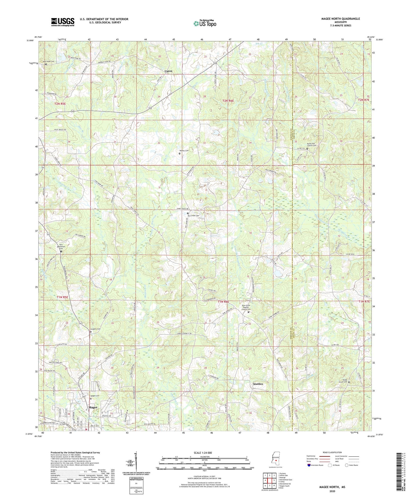
2020 topographic map quadrangle Magee North in the state of Mississippi. Scale: 1:24000. Based on the newly updated USGS 7.5' US Topo map series, this map is in the following counties: Simpson, Smith. The map contains contour data, water features, and other items you are used to seeing on USGS maps, but also has updated roads and other features. This is the next generation of topographic maps. Printed on high-quality waterproof paper with UV fade-resistant inks.
Quads adjacent to this one:
West: Mendenhall East
Northwest: Puckett
North: White Oak
Northeast: Raleigh
East: Cohay
Southeast: Mize
South: Magee South
Southwest: Mendenhall SE
Contains the following named places: Calvary Baptist Church, Craft Poultry Farm, Dry Creek, Dry Creek Cemetery, Dry Creek Church, First Assembly of God Church, Ford, Garner Mill Creek, Good Hope Church, Goshen Church, Gregory Cemetery, Haw Branch, Kennedy Springs Church, Little Hatchapaloo Creek, Maddox, Magee Cemetery, Magee Junior High School, Magee Volunteer Fire Department, Mount Lena Church, New Bethlehem Cemetery, New Bethlehem Church, New Hope Cemetery, New Hope Church, Old Hickory School, Pine Grove Baptist Church Cemetery, Pine Grove Church, Rock Hill School, Rocky Hill Church, Rocky Hill Church Cemetery, Russell Branch, Shady Grove, Shady Grove Cemetery, Shady Grove Church, South Shady Grove Church, Sumrall, Thompson Branch, Turner School, Upton, Womac Cemetery, ZIP Code: 39111