MyTopo
Puckett Mississippi US Topo Map
Couldn't load pickup availability
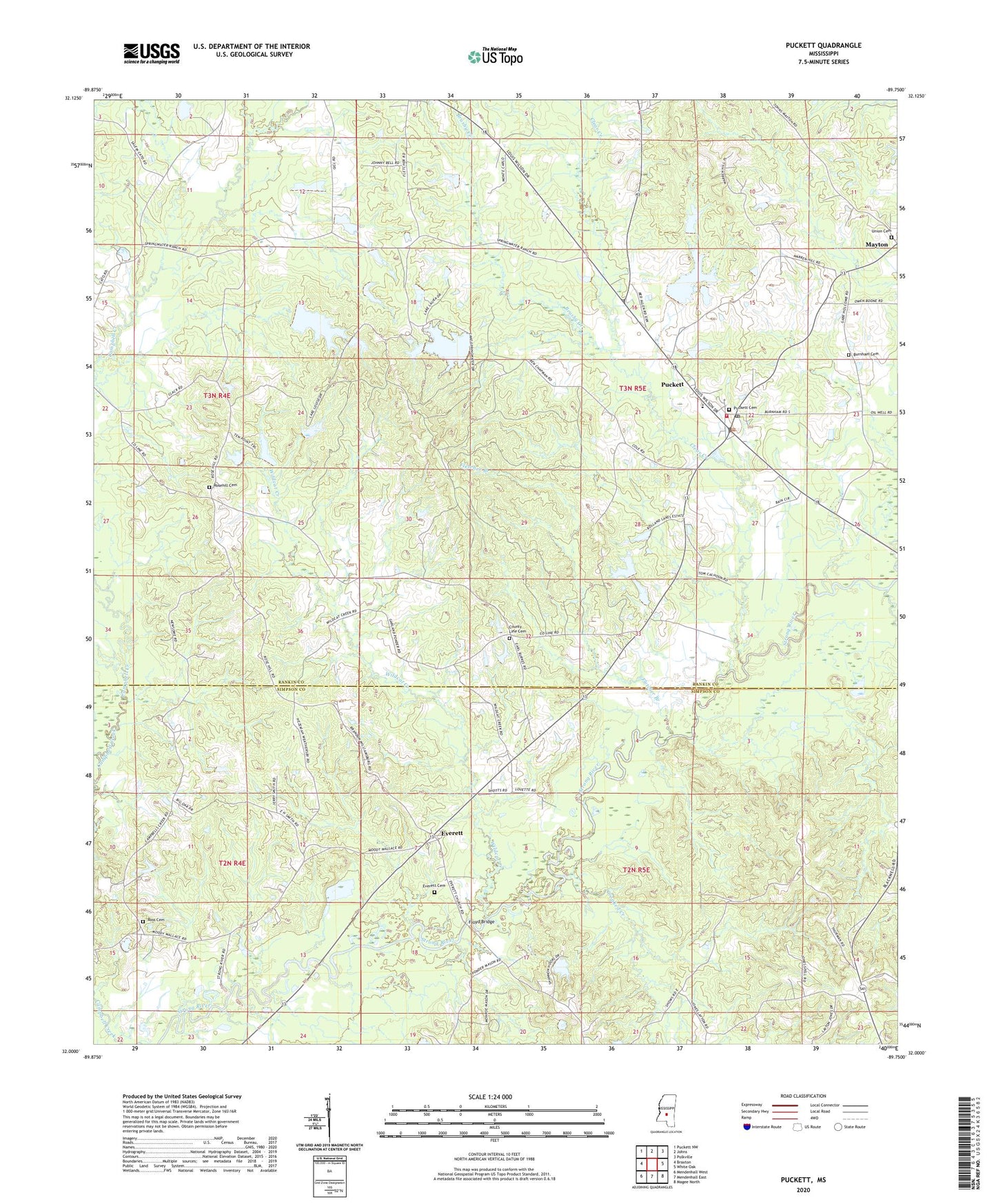
2024 topographic map quadrangle Puckett in the state of Mississippi. Scale: 1:24000. Based on the newly updated USGS 7.5' US Topo map series, this map is in the following counties: Rankin, Simpson. The map contains contour data, water features, and other items you are used to seeing on USGS maps, but also has updated roads and other features. This is the next generation of topographic maps. Printed on high-quality waterproof paper with UV fade-resistant inks.
Quads adjacent to this one:
West: Braxton
Northwest: Puckett NW
North: Johns
Northeast: Polkville
East: White Oak
Southeast: Magee North
South: Mendenhall East
Southwest: Mendenhall West
This map covers the same area as the classic USGS quad with code o32089a7.
Contains the following named places: Brushy Creek, Burnham Cemetery, Campbell Creek Church, Clear Creek, County Line Cemetery, County Line Church, Crooked Creek, Everett, Everett Cemetery, Everett School, Fletcher Branch, Floyd Bridge, Joe, Kennedy School, Morrow Lake Dam, New Mount Zion Church, Puckett, Puckett Attendance Center, Puckett Cemetery, Puckett Post Office, Puckett Volunteer Fire Department, Rock Pisgah Church, Rocky Creek, Rose Hill Church, Rosehill Cemetery, Ross Cemetery, Union Cemetery, Union United Methodist Church, Village of Puckett, Wildcat Creek