
MyTopo
Mize Mississippi US Topo Map
Couldn't load pickup availability
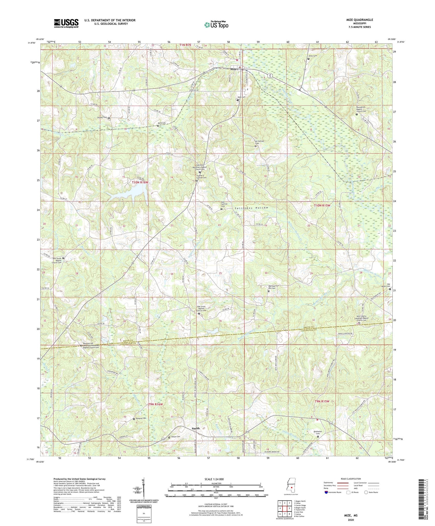
2024 topographic map quadrangle Mize in the state of Mississippi. Scale: 1:24000. Based on the newly updated USGS 7.5' US Topo map series, this map is in the following counties: Smith, Covington. The map contains contour data, water features, and other items you are used to seeing on USGS maps, but also has updated roads and other features. This is the next generation of topographic maps. Printed on high-quality waterproof paper with UV fade-resistant inks.
Quads adjacent to this one:
West: Magee South
Northwest: Magee North
North: Cohay
Northeast: Center Ridge
East: Taylorsville
Southeast: Hot Coffee
South: Collins
Southwest: Lone Star
This map covers the same area as the classic USGS quad with code o31089g5.
Contains the following named places: Abel, Alex Sullivan Cemetery, Berkhalter Cemetery, Bunker Hill, Bunker Hill Mill Creek, Calvary Church, Clear Creek, Clear Creek School, Dry Branch, Ed Sullivan Cemetery, Forest Hill School, Holy Hill Church, Hot Coffee Volunteer Fire Department Station 1, Jones Cemetery, Lake Ross Barnett, Lilly Valley School, Little Valley Church, Milton, Mize, Mize Attendance Center, Mize Baptist Church, Mize City Police Department, Mize Lookout Tower, Mize Methodist Church, Mize Post Office, New Haven, New Haven School, New Liberty Church, New Sardis Church, Oak Grove Baptist Church, Old Zion Hill Cemetery, Pleasant Hill Church, Pleasant Hill Landmark Missionary Baptist Church Cemetery, Providence Church, Providence School, Rutland Cemetery, Shiloh Baptist Church, Shiloh Cemetery, Shiloh School, Smith, Smith School, Sullivans Hollow, Supervisor District 3, Thomas F. Sullivan Cemetery, Town of Mize, West Point School, Zion Church, Zion Hill


