MyTopo
McAfee Mississippi US Topo Map
Couldn't load pickup availability
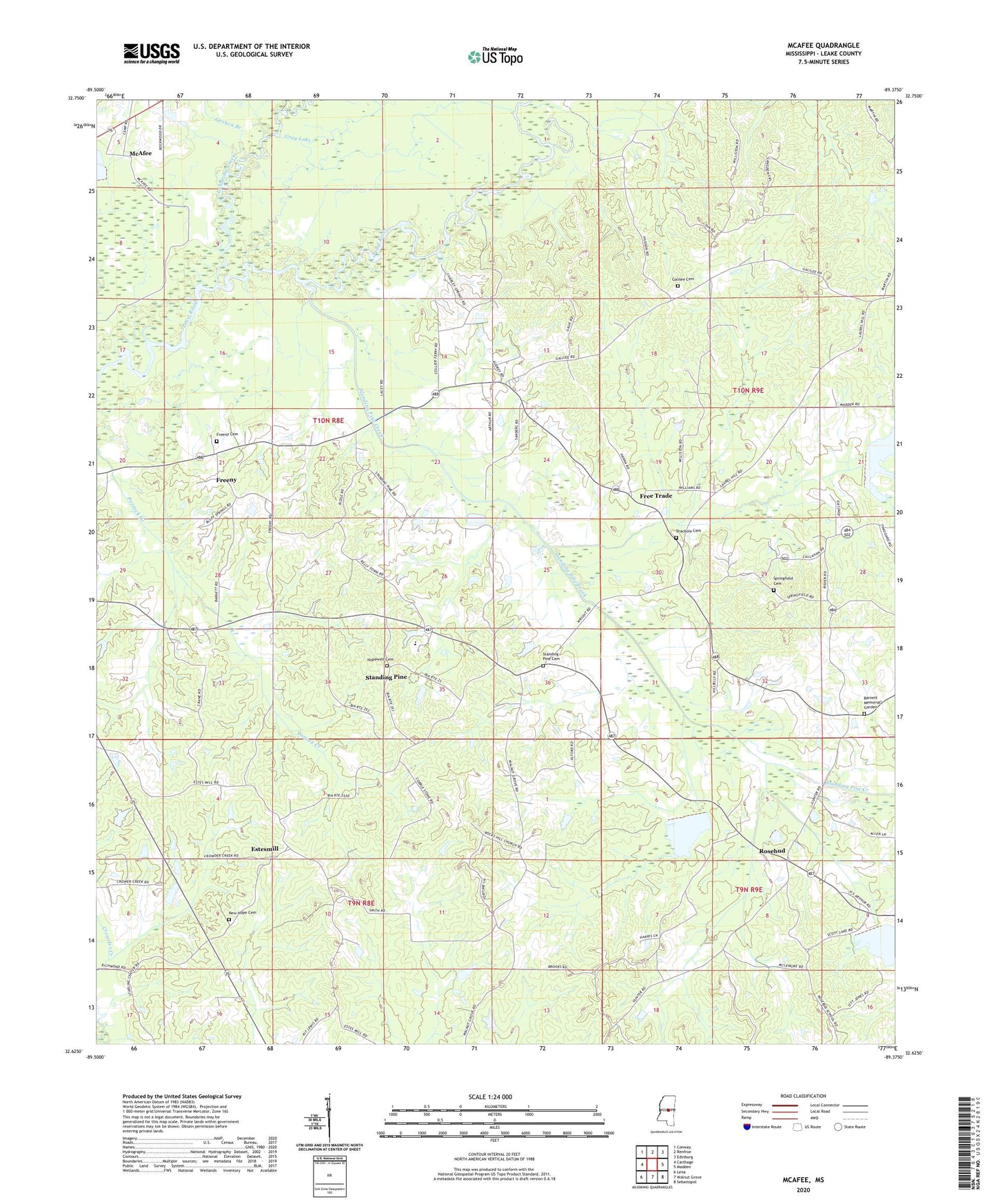
2024 topographic map quadrangle McAfee in the state of Mississippi. Scale: 1:24000. Based on the newly updated USGS 7.5' US Topo map series, this map is in the following counties: Leake. The map contains contour data, water features, and other items you are used to seeing on USGS maps, but also has updated roads and other features. This is the next generation of topographic maps. Printed on high-quality waterproof paper with UV fade-resistant inks.
Quads adjacent to this one:
West: Carthage
Northwest: Conway
North: Renfroe
Northeast: Edinburg
East: Madden
Southeast: Sebastopol
South: Walnut Grove
Southwest: Lena
This map covers the same area as the classic USGS quad with code o32089f4.
Contains the following named places: Arnells Mill, Barnett Memorial Garden, Bennetts Store, Boyds Ferry, Coy Watkins Catfish Ponds Dam, Estesmill, Free Trade, Free Trade Church of God, Freeny, Freeny Baptist Church, Freeny Cemetery, Freeny Methodist Church, Galilee Cemetery, Galilee Church, Galilee Missionary Baptist Church, Goshen Branch, Gray Lake, Harmony, Harmony School, Hope Well Church, Hopewell Cemetery, Indian Agency Pond Dam, J E Upton Junior Catfish Pond Dam, Lobutcha Creek, McAfee, Mississippi Forestry Commission Leake Fire Tower, New Bethel Church, New Hope Baptist Church, New Hope Cemetery, Rosebud, Shackolo Cemetery, Springfield Cemetery, Springfield Church, Standing Pine, Standing Pine Cemetery, Standing Pine Census Designated Place, Standing Pine Church, Standing Pine Creek, Standing Pine School, Standing Pine Watershed Structure 5 Dam, Standing Pine Watershed Structure 9 Dam, Supervisor District 5