MyTopo
Phoenix Mississippi US Topo Map
Couldn't load pickup availability
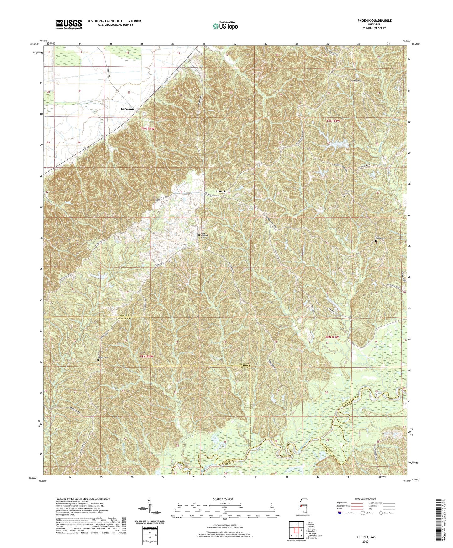
2020 topographic map quadrangle Phoenix in the state of Mississippi. Scale: 1:24000. Based on the newly updated USGS 7.5' US Topo map series, this map is in the following counties: Yazoo, Warren, Hinds. The map contains contour data, water features, and other items you are used to seeing on USGS maps, but also has updated roads and other features. This is the next generation of topographic maps. Printed on high-quality waterproof paper with UV fade-resistant inks.
Quads adjacent to this one:
West: Eldorado
Northwest: Lucre
North: Satartia
Northeast: Tinsley
East: Coxs Ferry
Southeast: Brownsville
South: Queens Hill Lake
Southwest: Oak Ridge
Contains the following named places: Claibornesville, El Bethelm Church, Germania, H Hillderbrand Pond Dam, Hart Childress Cemetery, Hebron Cemetery, Hebron Church, Hilderbrand Cemetery, King Solomon Church, Magnolia, Marley Cemetery, Oak Grove Church, Phoenix, Springfield Church, Ted Houseman Pond Dam, Wesley Chapel, ZIP Code: 39162