MyTopo
Sardis SE Mississippi US Topo Map
Couldn't load pickup availability
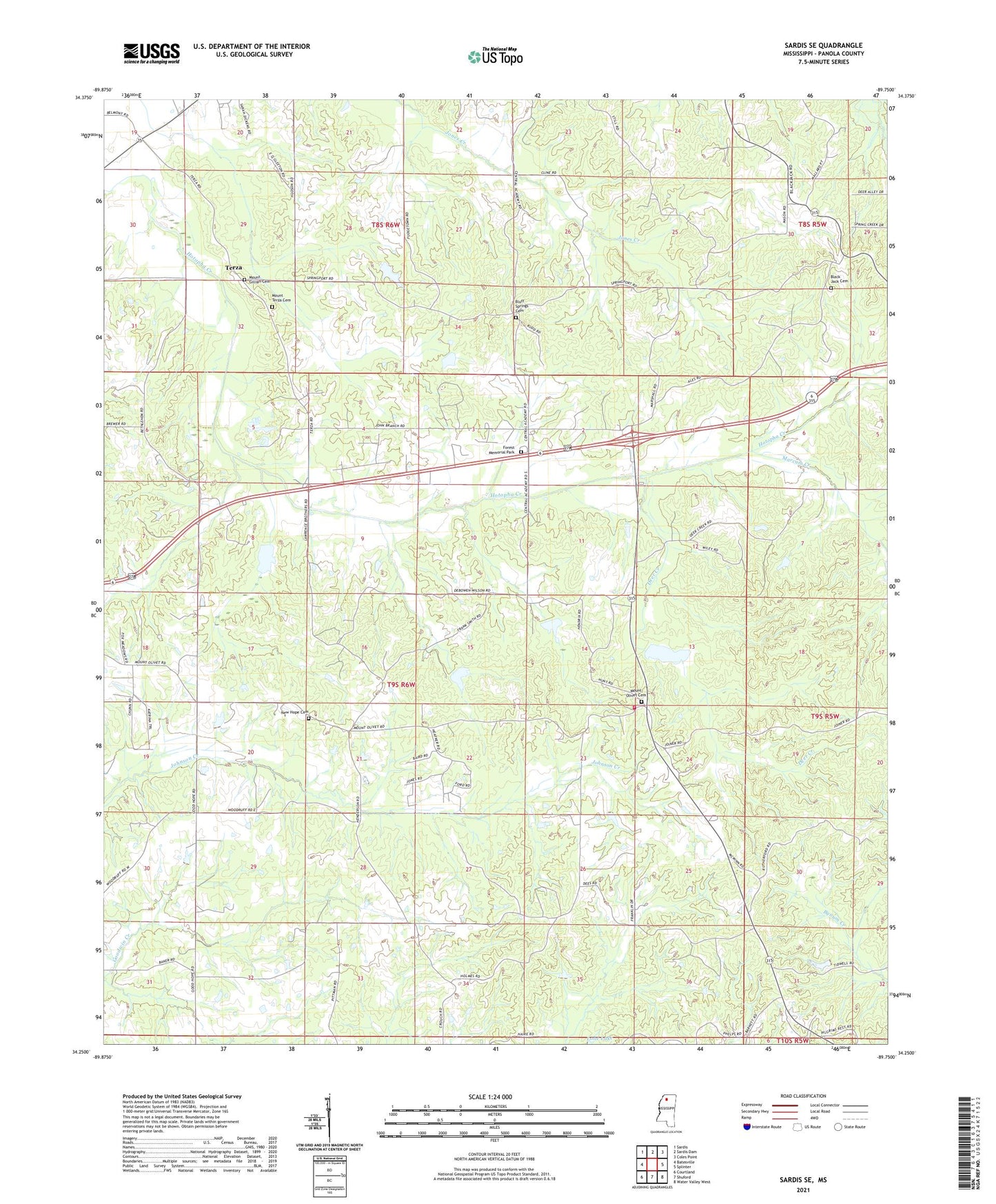
2021 topographic map quadrangle Sardis SE in the state of Mississippi. Scale: 1:24000. Based on the newly updated USGS 7.5' US Topo map series, this map is in the following counties: Panola. The map contains contour data, water features, and other items you are used to seeing on USGS maps, but also has updated roads and other features. This is the next generation of topographic maps. Printed on high-quality waterproof paper with UV fade-resistant inks.
Quads adjacent to this one:
West: Batesville
Northwest: Sardis
North: Sardis Dam
Northeast: Coles Point
East: Splinter
Southeast: Water Valley West
South: Shuford
Southwest: Courtland
Contains the following named places: Beland Petree Pond Dam, Black Jack Cemetery, Black Jack Church, Black Jack School, Bluff Springs, Bluff Springs Cemetery, Bluff Springs Church, Bluff Springs School, Brassell Chapel, Central Academy, Central Academy Church, Central Agency, Deer Creek, East Batesville Church, Forrest Memorial Park, Good Hope Church, Harris Creek, Henderson School, Hotopha Creek Watershed Y-10a-47 Dam, Hotopha Creek Watershed Y-10a-47a Dam, Hotopha Creek Watershed Y-10a-52 Dam, Hotopha Creek Watershed Y-10a-62 Dam, Hotopha Creek Y-10a-43 Dam, Hotopha Creek Y-10a-66 Dam, Inman Creek, John E Dunlap Pond Dam, Lester Hill School, Marcum Creek, Mississippi No Name 219 Dam, Mount Gillian Cemetery, Mount Gillian Church, Mount Olivet, Mount Olivet Cemetery, Mount Olivet Church, Mount Olivet Fire Department District 4, Mount Olivet School, Mount Terza Cemetery, Mount Terza Church, New Enon Church, New Hope Cemetery, New Hope Church, New Hope School, Nutts Shop, Sardis Lake Church, Spring Port, Supervisor District 4, Terza